001 - Overview
High-level inspections conducted by skilled and experienced pilots
We deliver efficient, cost-effective drone surveys, designed to facilitate property inspection and maintenance.
Why choose drones for high-level inspection?
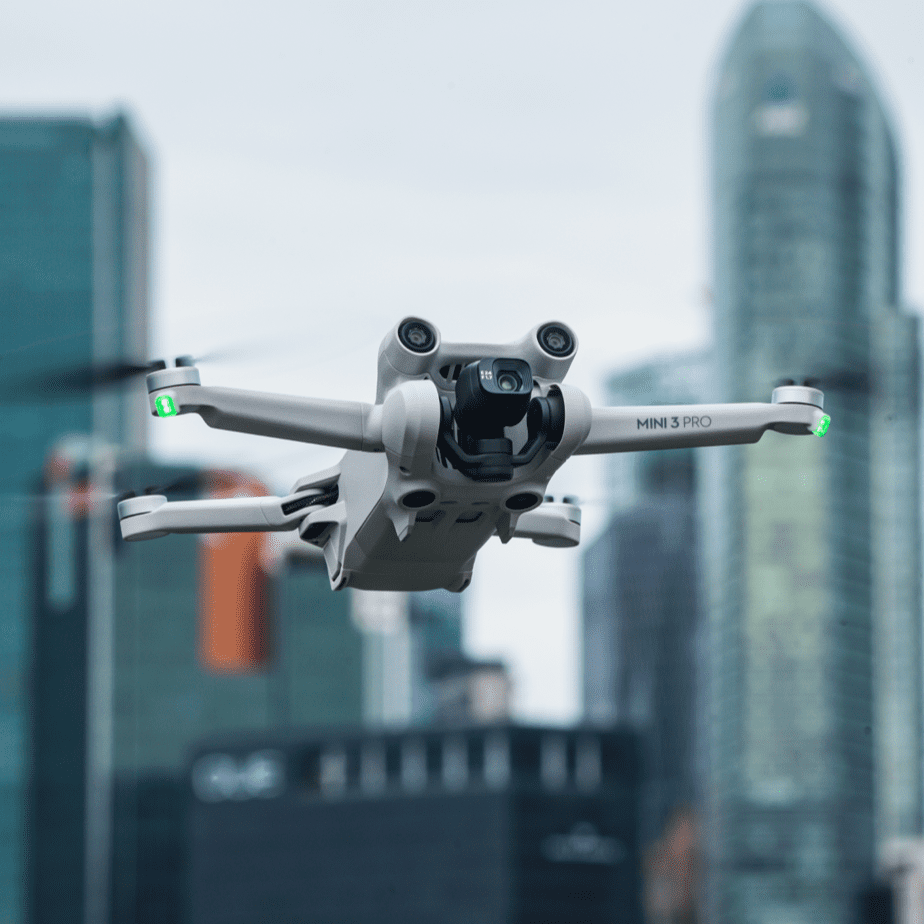
Drones (UAVs) offer a cost-effective, safe way to access hard-to-reach areas, ideal for inspecting building roofs, facades, mechanical equipment, and infrastructure.
Safety
UAVs minimise the need for MEWP equipment, scaffolding, and reducing the potential for hazardous situations associated with Working At Height.
Efficiency
Drones cut down on expenses related to equipment, and time associated with traditional inspection methods, with fast and affordable data collection.
Accessibility
Equipped with high-resolution cameras, UAVs collect comprehensive building inspection data, aiding in condition reporting and informed decision-making.
002 - Applications
Safe and compliant drone surveys for the built environment
Harness drone surveys for a wide range of surveying activities, supporting professionals within the UK built and natural environment.
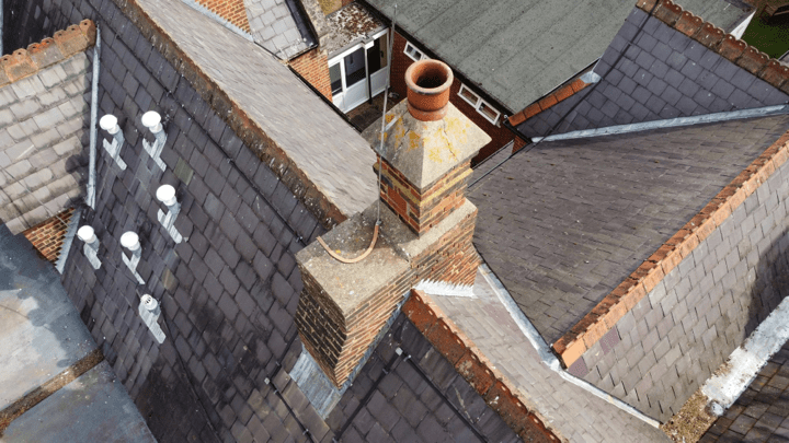
Condition Reporting
Drone surveys provide efficient assessment of a building's condition, facilitating the detailed preparation of condition survey reports.
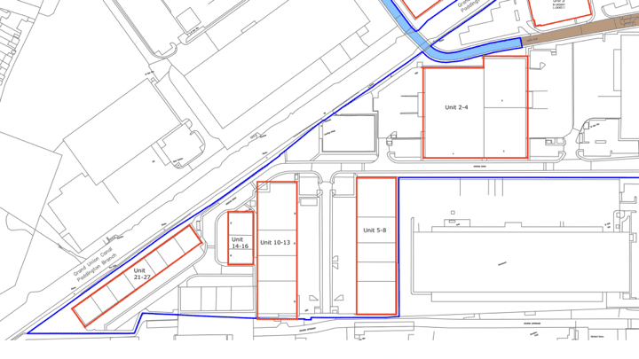
Portfolio Surveys
Drone surveys offer a comprehensive method for portfolio assessments, capturing high-resolution aerial data in a fraction of the time.
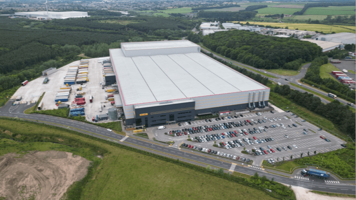
Dilapidation Assessments
Drone surveys can be used to create detailed reports that support fair lease negotiations and dilapidation inspections.
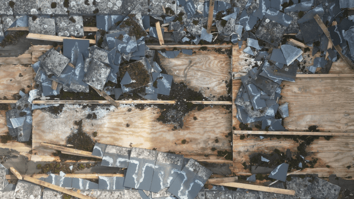
Defect Analysis
Create a visual record of a property's condition, help to identify specific building defects and plan maintenance schedules efficiently.
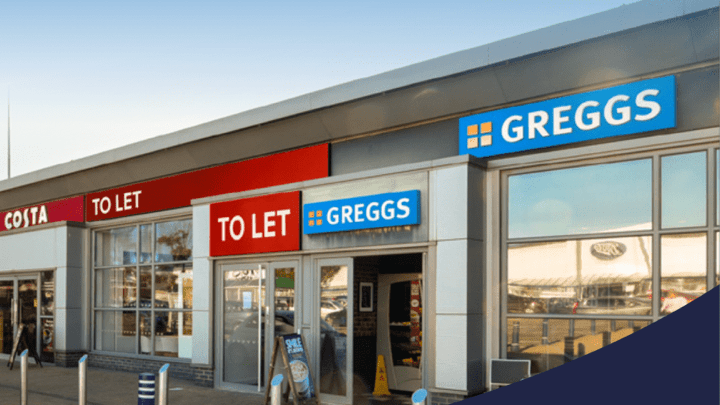
Pre-Acquisition & Lettings
Drone surveys support technical due diligence processes, offering an overview of the condition and potential issues prior to acquisition and lets.
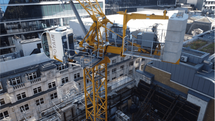
Project Monitoring
Monitor live construction and development sites, allowing for progress tracking and photographic reporting without disrupting work activities.
003 - Process
Professional service and support from start to finish
We combine state-of-the-art technology with surveying expertise to deliver accurate, reliable, and actionable data.
Surveyor Expertise
Our expertise is underpinned by RICS-accredited professional leadership, ensuring that surveys are conducted with professional integrity, technical rigour and align with the RICS Code of Conduct.
Inspection Protocols
We adopt a top-down approach for building inspections, capturing all high-level elements in a clear and logical order, benefitted by our extensive knowledge of building pathology and survey reporting.
Skilled UAV Operators
Our CAA qualified drone pilots are fully insured and licensed, adhering to the highest safety and operational standards, delivering safe and reliable UAV data collection services across the UK.
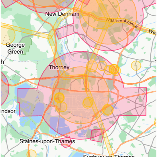
01
Planning
We carefully assess your site, review airspace restrictions, and prepare detailed RAMS to ensure safe and compliant UAV operations. All required permissions are secured in advance, ensuring compliance with UK aviation regulations, with each mission planned for accurate and efficient data capture.
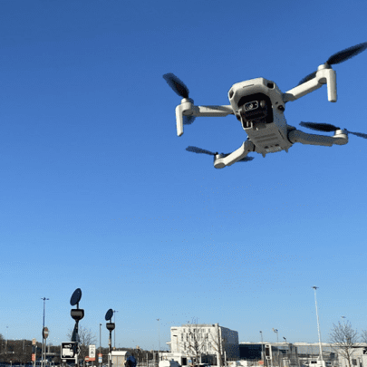
02
Operation
Our certified UAV pilots carry out roof and high-level inspections, capturing detailed imagery and survey data from difficult-to-access areas. Operations are conducted under strict safety protocols, with stable flight planning and real-time monitoring ensuring compliance and reliable results.
03
Delivery
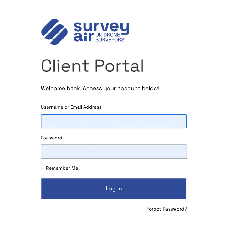
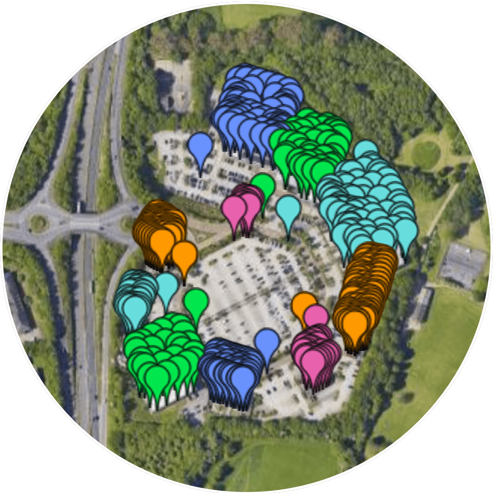
Survey results are delivered through our dedicated client portal, with secure download links for all files. Interactive geo-referenced maps and precise photo marker locations provide clear visual references, making it easy to prepare building surveying reports and share findings across your project team.
004 - Delivery
Proprietary client platform for survey data delivery
We offer a free client portal for building and property inspections, offering unparalleled accuracy and efficiency.
Our portal provides clients with real-time access to detailed survey data, interactive 3D maps, and comprehensive condition reports, all from a simple, secure interface.
Secure
We have built a clean and robust web portal with a focus on site security, where clients can easily access and manage their survey data in one secure place.
Custom
Survey features include interactive geo-referenced maps, pinpointing precise photo locations, and customisable photographic schedule of condition report in PDF format.
Reliable
Our expert team delivers comprehensive survey data, typically within 24 hours of inspection, making it easier for surveyors to assess condition in record time.
005 - FAQ
Want to find out more?
Everything you need to know about our expert drone surveys.
Drone surveys offer exceptional accuracy and detail, often surpassing traditional inspection methods. They can capture high-resolution images from various angles and distance, covering areas and distances in a fraction of the time.
Drones provide several advantages for roof and elevation surveys, including reduced risk to inspectors, faster data collection, and minimal disruption to the property. They can access hard-to-reach areas easily and deliver detailed aerial images that help in accurate condition assessment and reporting.
Our drone surveys adhere to strict safety protocols and comply with UK aviation regulations. Our pilots are fully licensed, insured and experienced, and we conduct risk assessments before each flight. Additionally, we follow industry best practices to ensure safe operation and high-quality data collection at all times.
Drones are highly effective for a range of property inspections, including roof assessments, elevation surveys, and condition reporting. They can capture detailed aerial images and high-resolution video to evaluate the condition of structures, detect potential issues, and provide comprehensive visual documentation.
006 - Contact
Have a project to discuss?
Have a project to discuss? Get in touch for a quote.
