Blog
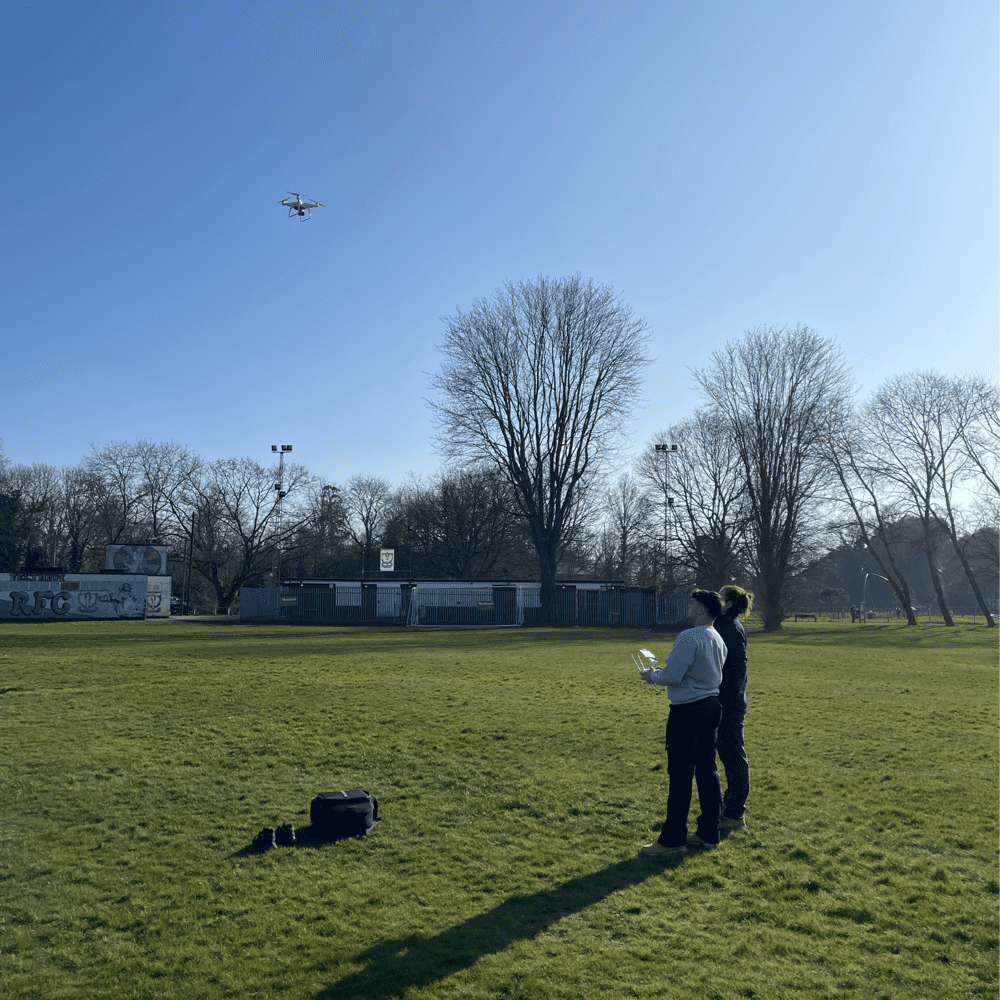
UAV Crop Monitoring for UK Spring Cereals

Multispectral UAV crop monitoring is increasingly used across the UK to assess early-stage cereal performance and identify variability before it becomes visible. Spring is a critical period in the UK arable calendar. Fields that remain largely dormant through winter rapidly transition into active production as spring cereals are drilled and early growth begins. For crops…
Read MoreDrone Survey Data Management, Security & Delivery

Drone survey data management is a critical step in turning raw aerial imagery into reliable spatial information. When most people think about drone surveying, they focus on the aircraft: high-performance UAVs capturing imagery above sites and complex infrastructure. In reality, data capture is only the first step. Without a structured process for handling the large…
Read MoreFPV Media Drone R&D Project: Phase Two
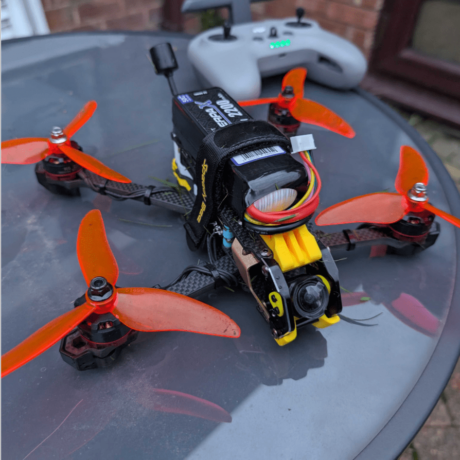
In our previous R&D post, we explored the design choices behind our move into custom-build FPV drones and UAV media capture, covering the frame architecture, component selection, and rationale for each decision. This second phase focuses on the practical implementation of those plans. The parts are in, soldering is complete, and our training FPV drone…
Read MoreA Guide to Cinematic and FPV Drone Media Production

Drone cinematography has progressed from a cinematic novelty into a core component of professional aerial media production. Once limited to high-budget film crews and complex logistics, aerial imaging is now scalable, precise, and widely integrated into marketing, architectural visualisation, and creative workflows across the UK. At Survey Air, our UAV media operations combine precision-engineered platforms,…
Read MoreMappleton UK Coastal Erosion Study: Revisited
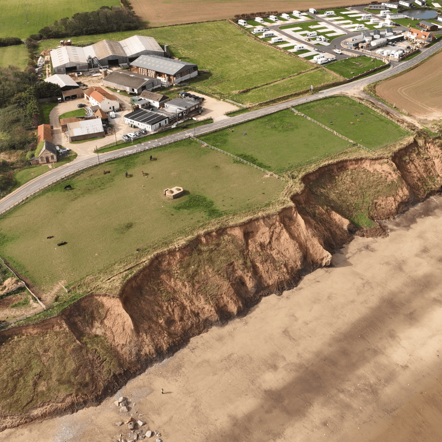
Following our initial Mappleton coastal erosion survey in late 2024, Survey Air returned in 2025 to continue monitoring one of the UK’s most rapidly changing coastlines. The soft glacial till cliffs of East Riding of Yorkshire are highly susceptible to wave action and storm events, resulting in annual land loss measured in metres. Repeat monitoring…
Read MoreUK SORA & BVLOS Drone Operations Explained

In recent years, drone technology has rapidly advanced, enabling longer flight times, smarter sensors, and safer aircraft that are able to detect and avoid with increasing reliability. Unfortunately, despite these changes, the Civil Aviation Authority (CAA) drone regulations have struggled to keep pace. Until recently, most pilots have had to fly missions in strict accordance…
Read MoreWhat Is Scan-to-BIM? LiDAR Process, Benefits, and Applications
The Future of Scan-to-BIM in the UK Scan-to-BIM is the first step in many BIM workflows, where physical environments are captured using advanced LiDAR technologies and converted into spatially accurate, data-rich models. UAV, terrestrial, and handheld LiDAR sensors produce complementary datasets that are merged into unified point clouds before being modelled within BIM software. This…
Read MoreFPV Media Drone R&D Project: Phase One
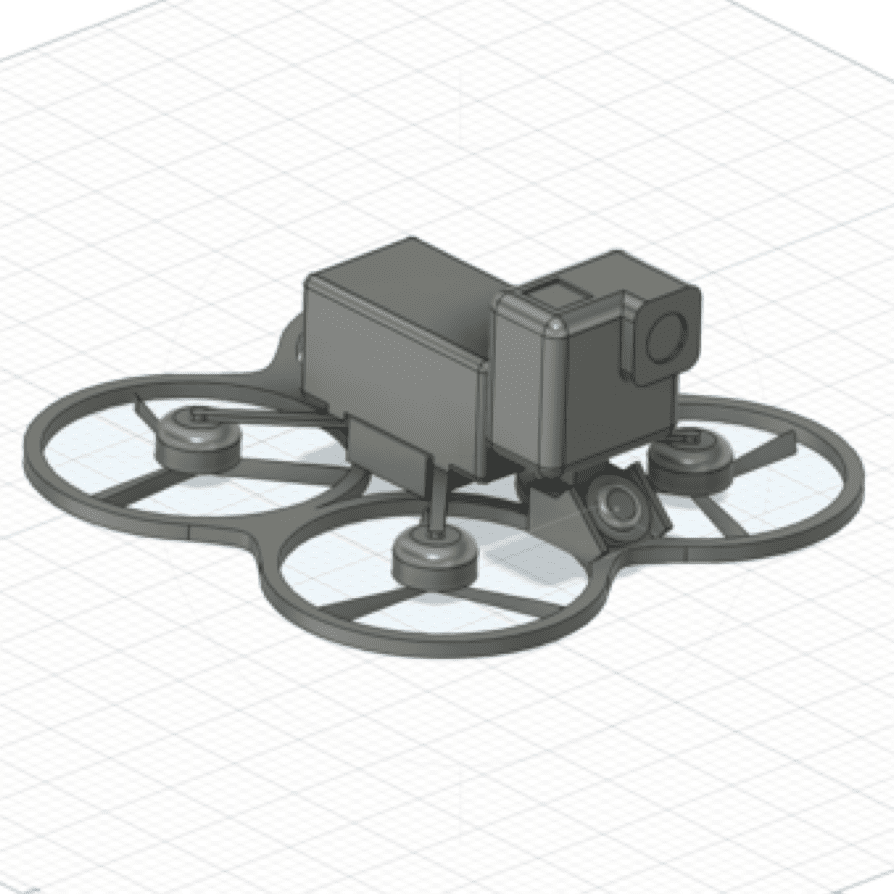
At Survey Air, we are constantly looking to push ourselves with how we capture and deliver drone data. Our latest venture takes us into the world of FPV (First Person View) quadcopters, agile UAV’s capable of capturing footage that more traditional multirotor simply can’t replicate. We’ve set ourselves the challenge of designing and building two…
Read MoreJourney to Becoming a GVC Qualified Drone Pilot
My passion for aviation has been a constant throughout my life, shaped by my family’s involvement in a local gliding club. Earning my gliding license at the age of 14 sparked my deep interest in flight and airmanship, which laid a solid foundation for my career in aviation and engineering. During my final year at…
Read MoreLiDAR Data Capture & Processing
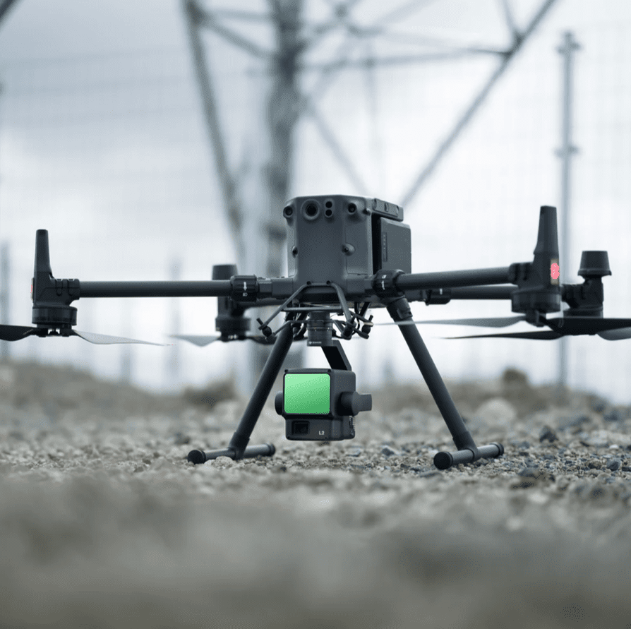
At Survey Air, we are always looking for ways to enhance our aerial mapping capabilities. With the growing demand for high-precision geospatial data, we have recently expanded our expertise to include LiDAR (Light Detection and Ranging) mapping services. LiDAR technology has been around since the 1960s but advancements in drone-mounted sensors have made it more…
Read More