Project Overview
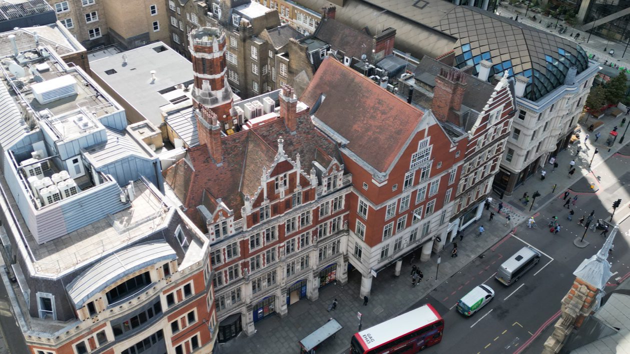
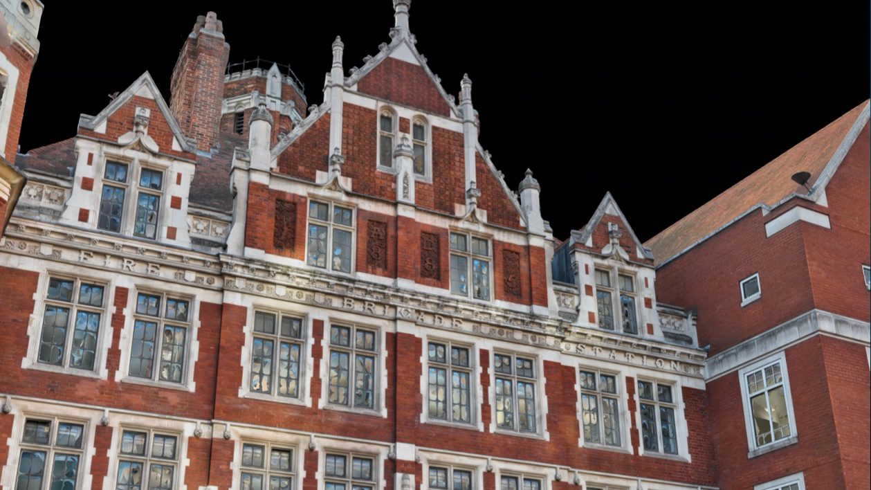
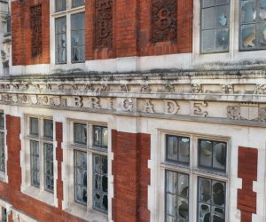
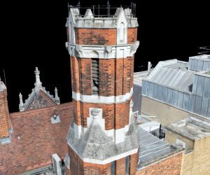
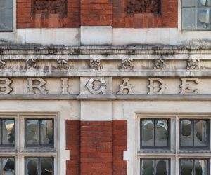
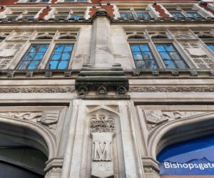
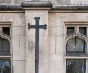
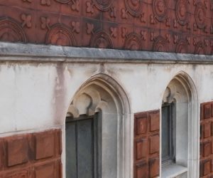
Survey Air was commissioned to deliver a comprehensive UAV façade survey of 164 Bishopsgate, a Grade II listed former fire brigade station located in the City of London. The objective was to capture high-resolution imagery and generate a precise 3D model to support the building’s long-term maintenance.
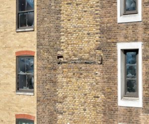
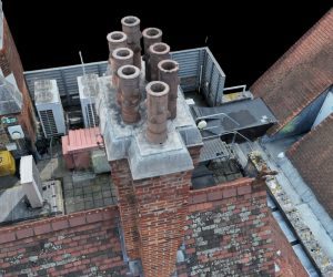
The project required a digital twin capable of representing every façade, roof, and architectural feature in precise detail. By leveraging drone-based photogrammetry, our team produced a dataset that allows surveyors and asset managers to inspect and measure remotely, reducing the need for physical access to challenging elevations.
Challenge
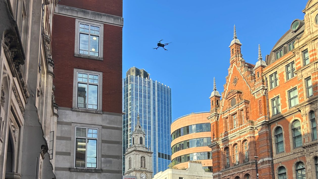
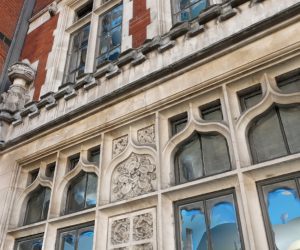
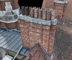
London’s heritage and listed buildings present complex inspection challenges due to their age, intricate façades, and restricted access. Scaffolding or rope access can be time-consuming, costly, and disruptive to building occupants, while also limiting the ability to capture uniform, high-resolution data across the entire structure.
For 164 Bishopsgate, traditional methods were impractical given the facade complexity and proximity to pedestrian areas. A UAV-based approach offered a safer, more efficient, and data-rich solution capable of delivering the precision required for condition assessment.
Approach
Survey Air’s UAV team deployed an enterprise mapping drone to capture detailed imagery of all building elements under strict operational and safety parameters. Data was processed using advanced photogrammetry workflows to create an accurate 3D model suitable for measurement, annotation, and defect analysis.
The resulting digital twin provides a permanent, georeferenced record of the building’s external condition, enabling facilities management teams and consultants to identify maintenance priorities, plan works, and monitor changes over time.
Let's Talk
Request a quote for a project
We offer unrivalled pricing, allowing drones to be more cost effective and accessible to our clients. Get in touch for a quote.