Project Overview
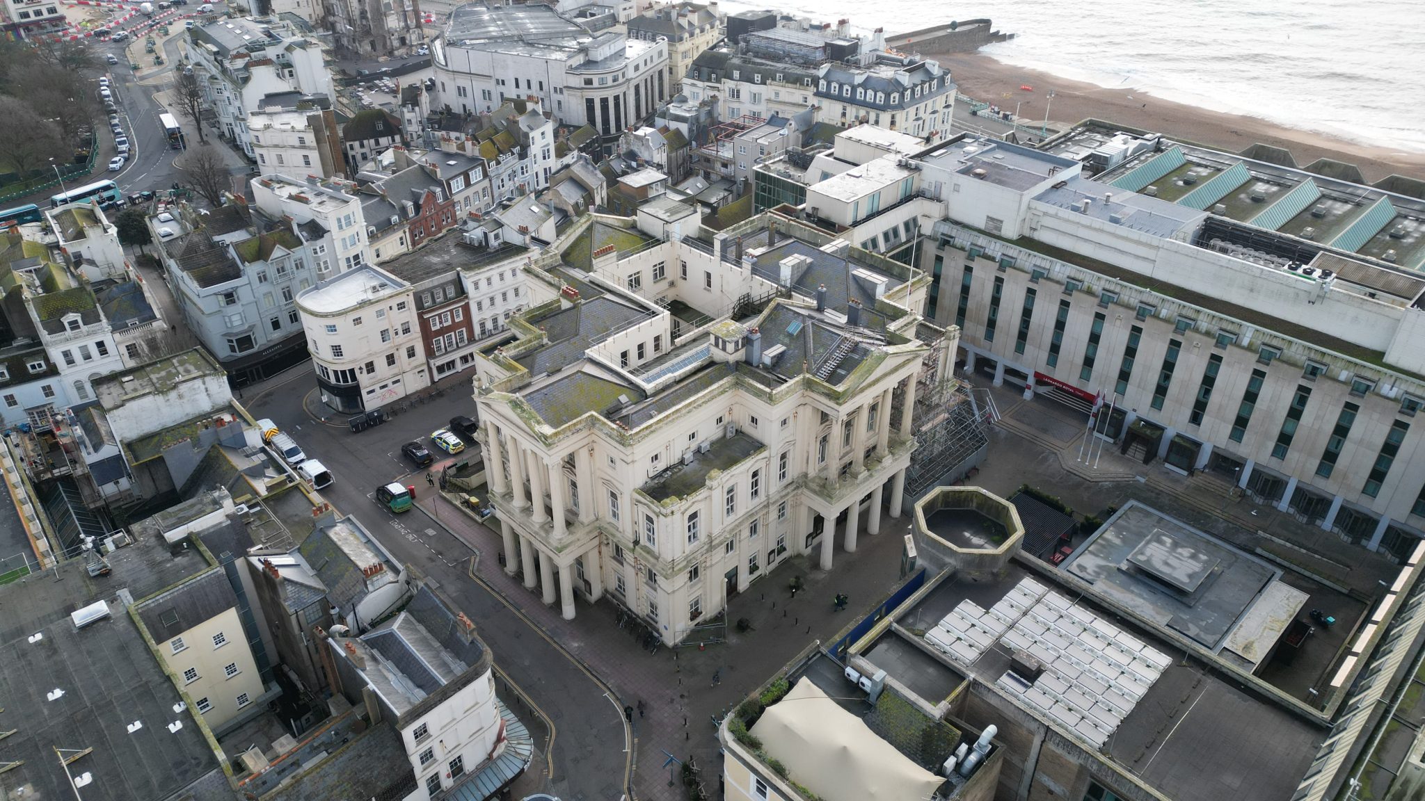
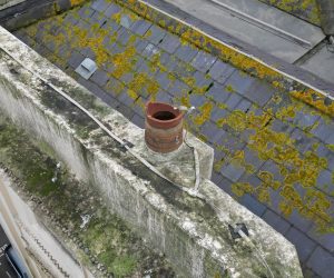
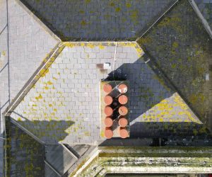
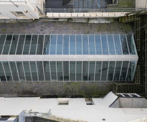
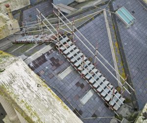
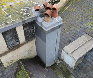
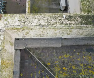
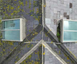
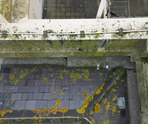
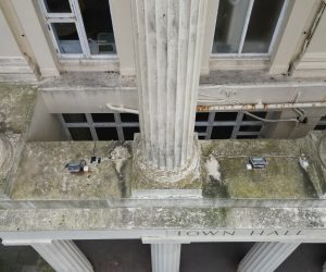
Survey Air was commissioned to carry out a high-level UAV inspection of Brighton Town Hall. The survey captured detailed roof and elevation imagery to provide a comprehensive visual record for condition assessment, enabling the client to plan maintenance efficiently without scaffolding or disruptive access.
The survey documented structural features, roofline elements, and façade details while accounting for both urban and maritime influences, producing a dataset suitable for remedial planning and asset management.
Challenge
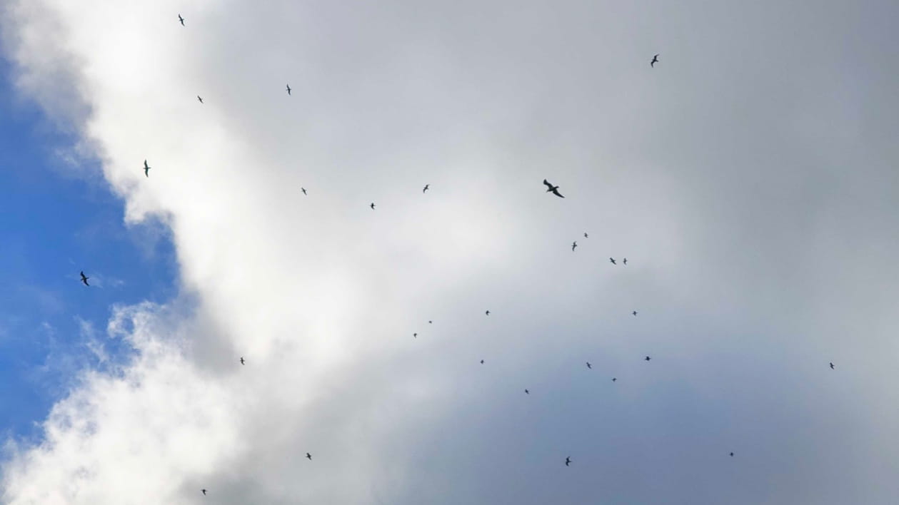
The coastal location presented unique challenges for UAV operations, including strong and unpredictable winds, as well as high levels of seagull activity. In addition, the close proximity to Brighton Pier and congested public areas required risk management to comply with local airspace regulations.
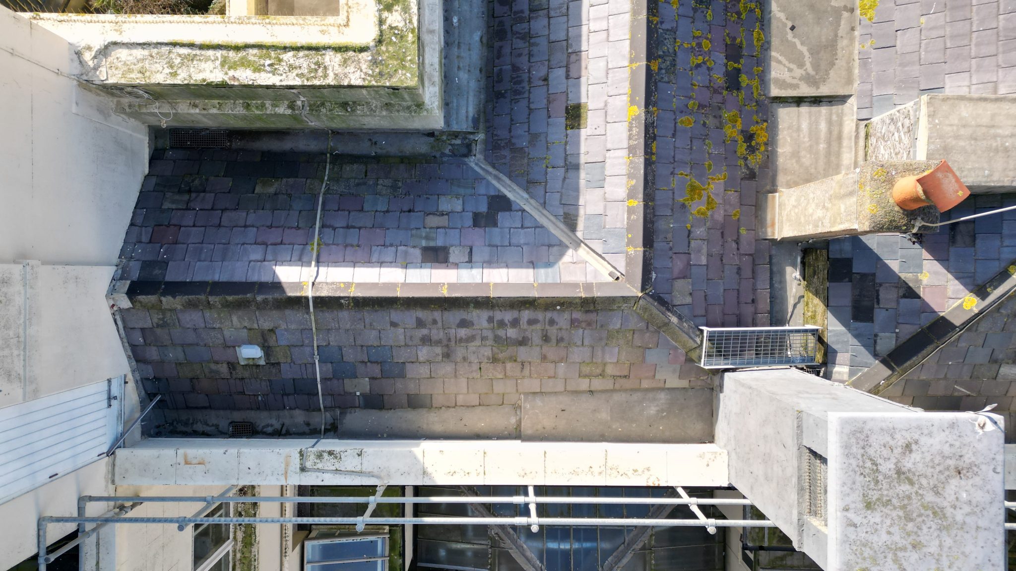
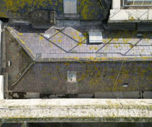
The building’s architectural complexity and roof height compounded the difficulty, requiring skilled piloting, careful flight path planning, and on-site mitigation measures to capture high-resolution imagery safely. Ensuring consistent, repeatable data while maintaining safety in this dynamic environment was critical.
Approach
We conducted a detailed pre-flight risk assessment and implemented strict on-site safety protocols, including exclusion zones, pilot spotters, and live monitoring to mitigate wildlife and wind-related risks. Controlled flight paths were established to maximise data capture while ensuring public and site safety.
High-resolution optical sensors mounted on UAV platforms captured close-up images of roofing, façades, and structural elements. The imagery was delivered as a structured, fully referenced dataset, providing the client with clear condition reporting and enabling efficient planning of remedial works.
Let's Talk
Request a quote for a project
We offer unrivalled pricing, allowing drones to be more cost effective and accessible to our clients. Get in touch for a quote.