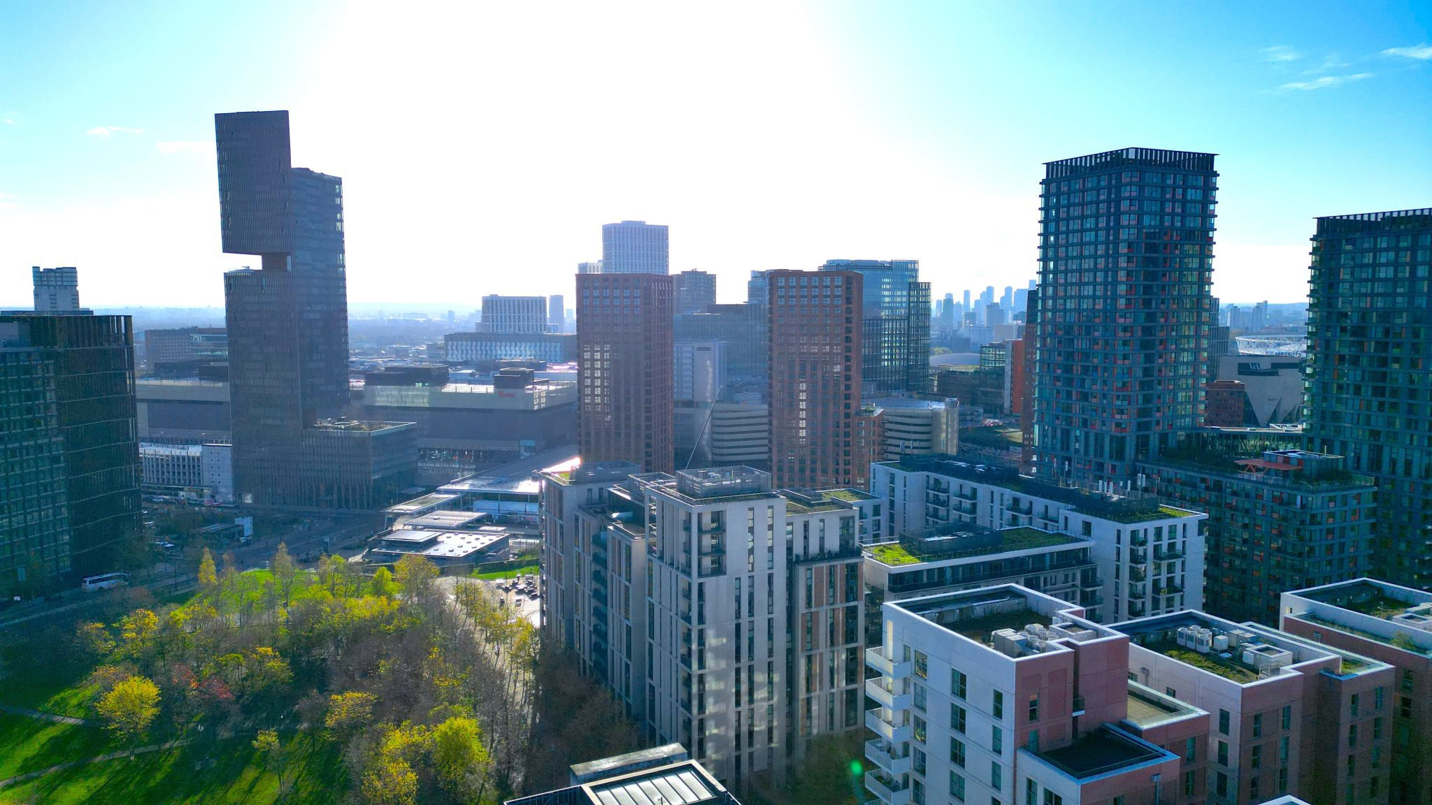
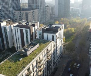
Project Overview
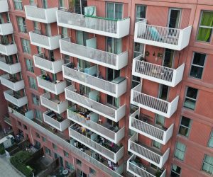
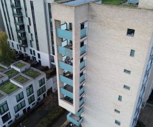
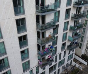
Survey Air was instructed to deliver a UAV-based balcony condition survey across East Village, Stratford, forming part of a non-intrusive inspection strategy for a large residential estate. The scope included visual inspection and photographic recording of balcony components across multiple plots and elevations.
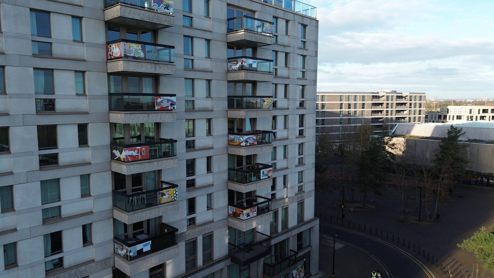
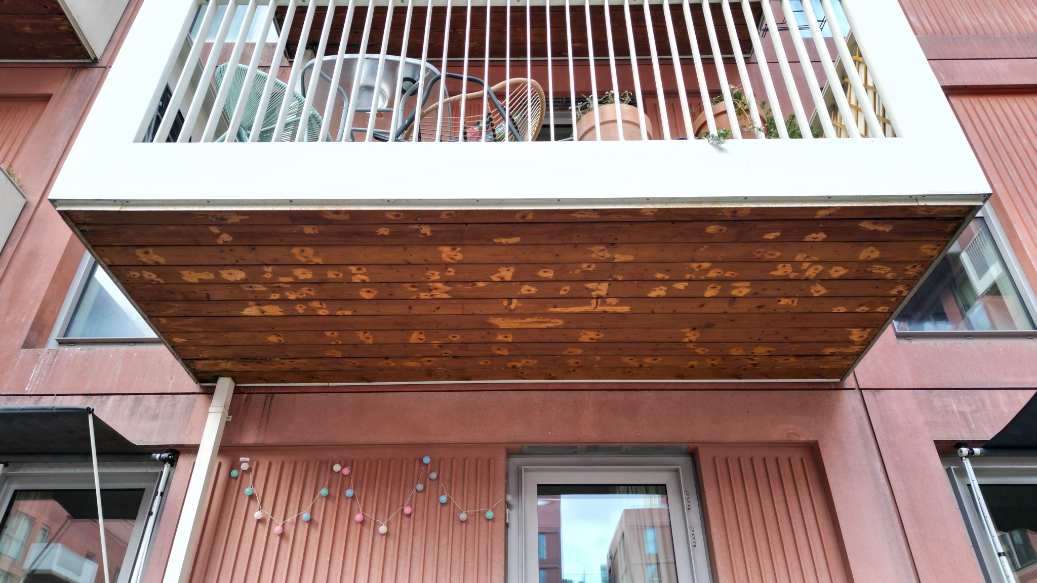
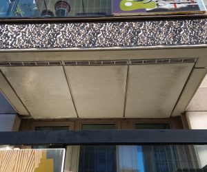
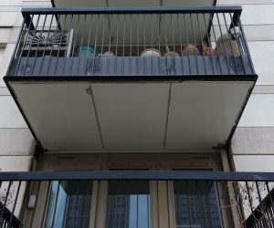
A total of 1,111 balconies were identified for inspection, excluding recessed units, with each balcony recorded using contextual imagery and detailed condition photographs. The output provided surveyors with a clear, navigable dataset suitable for defect identification and future comparative inspections.
Challenge
Managing data capture across a large number of similar assets introduced the risk of inconsistency without a robust methodology. Ensuring repeatable capture angles, clear elevation references, and accurate image labelling was critical to maintaining survey integrity.
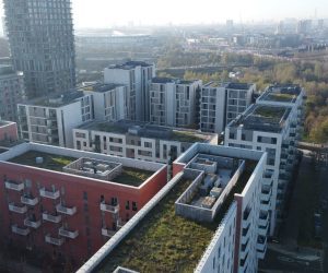
The inspection also took place within a live residential environment, requiring UAV operations to be carefully managed in line with safety protocols, privacy & GDPR considerations, and restricted operating windows across different blocks and elevations.
Approach
Survey Air adopted a defined image labelling and folder structure based on plot, block, façade, column, and floor. UAV flights followed a top-down inspection sequence, supported by overview elevation imagery to provide orientation and context.
Captured data was processed into a structured photographic report aligned with site plans and demise drawings. A review session with the client’s surveyors and FM teams ensured the final outputs were fully aligned with inspection objectives and reporting standards.


Let's Talk
Request a quote for a project
We offer unrivalled pricing, allowing drones to be more cost effective and accessible to our clients. Get in touch for a quote.