Project Overview
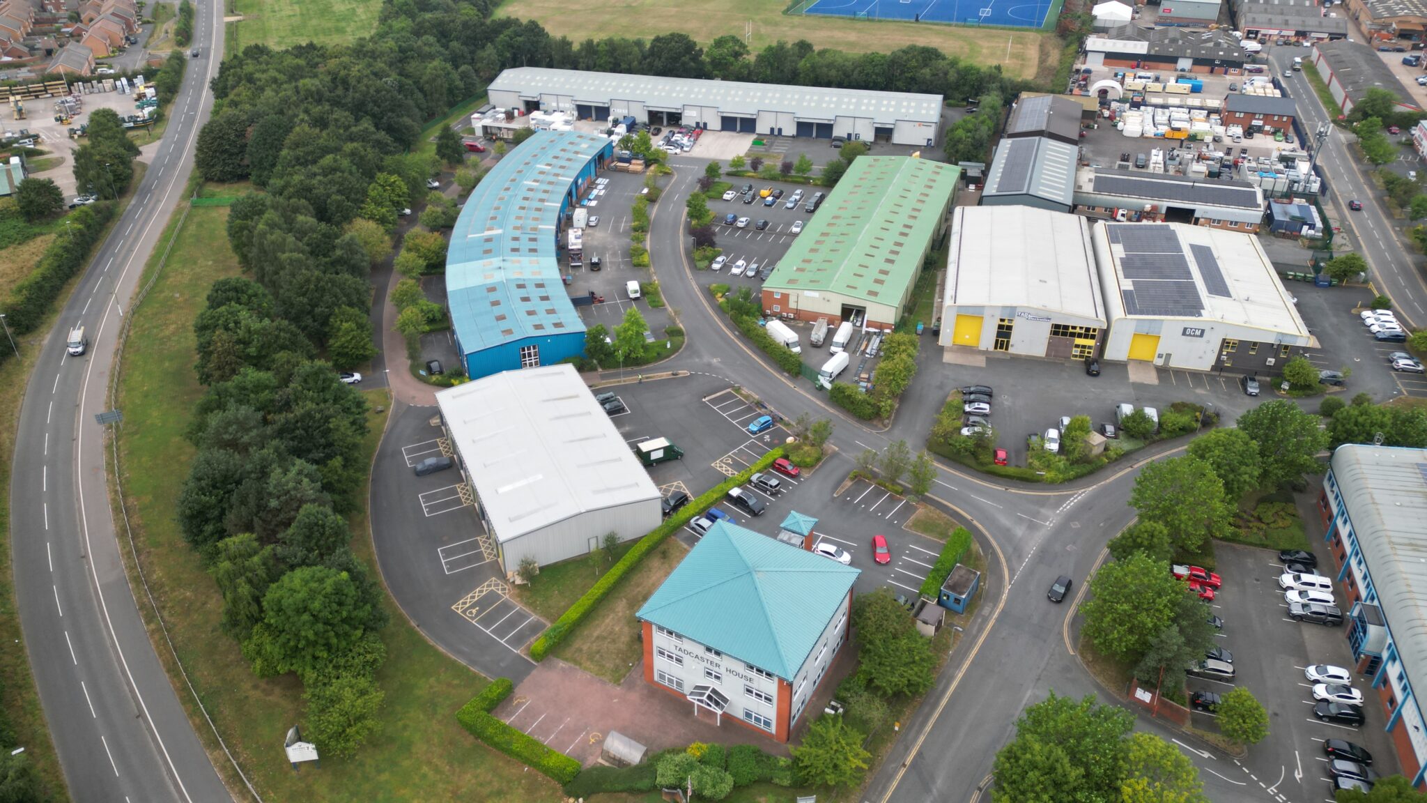
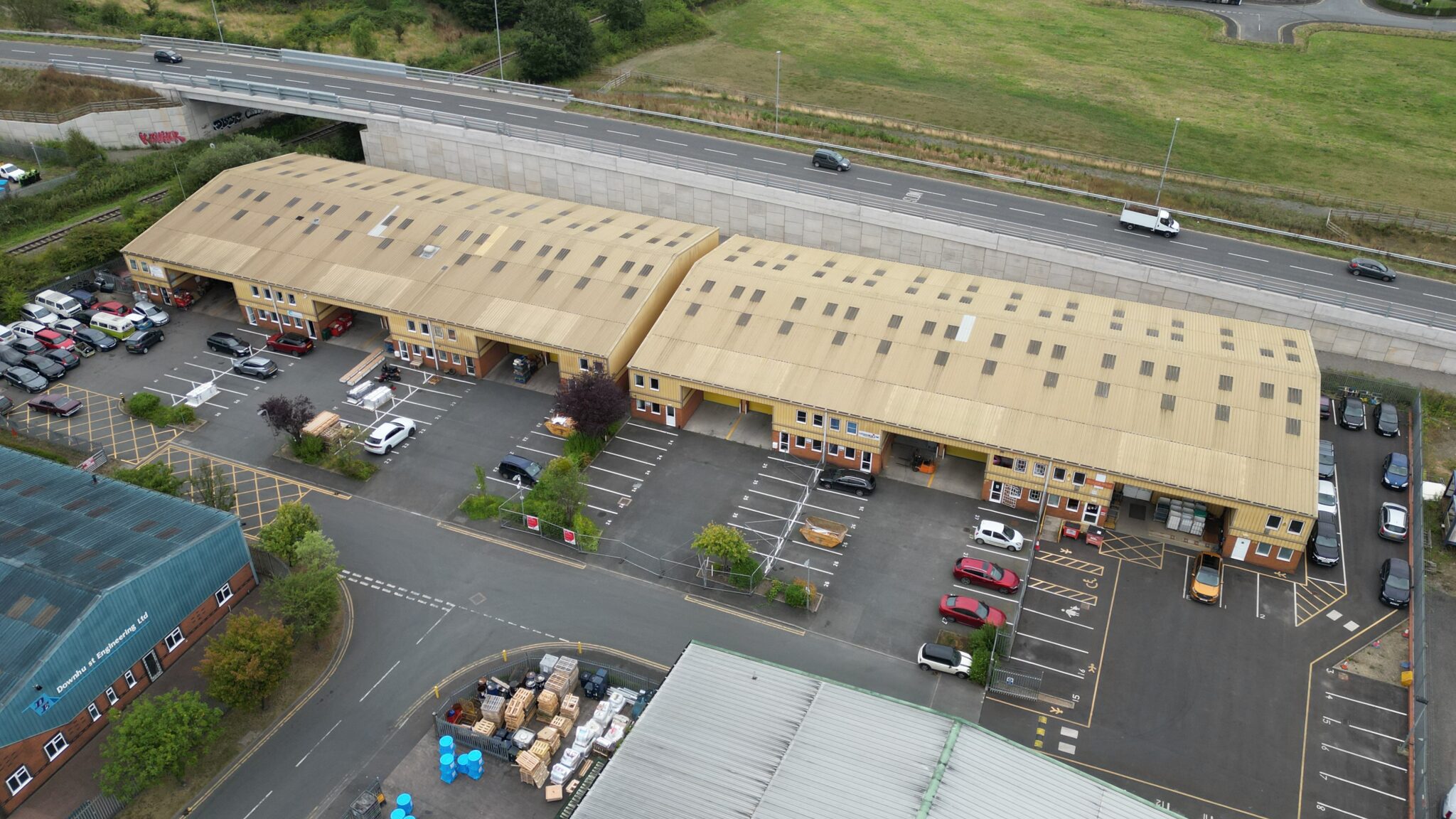
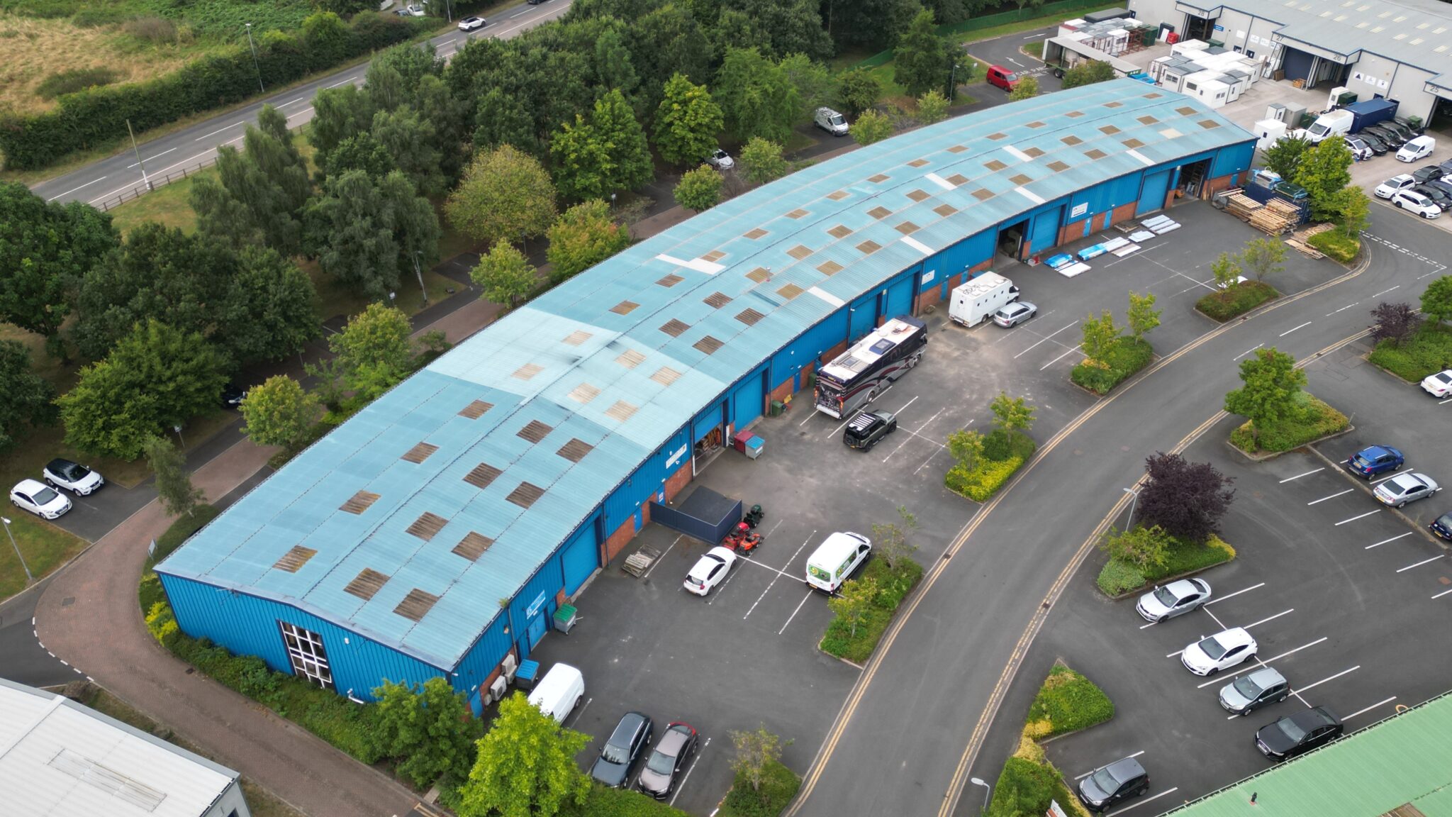
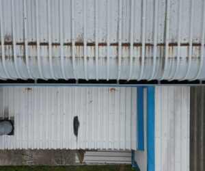
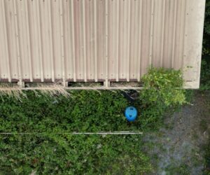
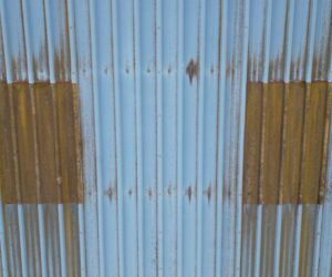
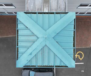
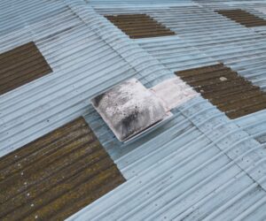
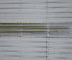
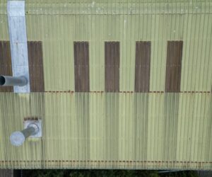
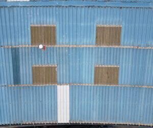
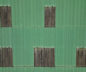
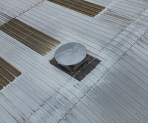
We carried out an extensive aerial survey of the Keyshore 7 industrial property portfolio, capturing high-resolution aerial imagery of the roofs and high-level areas of 63 separate industrial units across the entire site.
The client, aiming to assess the condition of these buildings for a potential site acquisition, required detailed visual data to inform their technical due diligence reports, identifying potential maintenance needs, structural issues, and other surveying factors.
Challenge
With 63 industrial units spread across a large area, ensuring comprehensive coverage within a limited timeframe was crucial. Each unit varied in size and design, requiring customized flight paths and camera settings to capture every critical detail.
Weather conditions had to be closely monitored to ensure optimal conditions for high-resolution imagery capture. The challenge was not only to cover the vast area but also to maintain the quality of the data under these conditions.
Approach
Survey Air employed a methodical approach to tackle the extensive survey of Keyshore 7. Our team meticulously planned flight paths that maximised coverage while minimising disruption to ongoing site activities.
The use of drones allowed us to navigate the varying heights and complex angles of the industrial units with ease, providing views that would be impossible to achieve with traditional inspection methods.
Let's Talk
Request a quote for a project
We offer unrivalled pricing, allowing drones to be more cost effective and accessible to our clients. Get in touch for a quote.