Project Overview
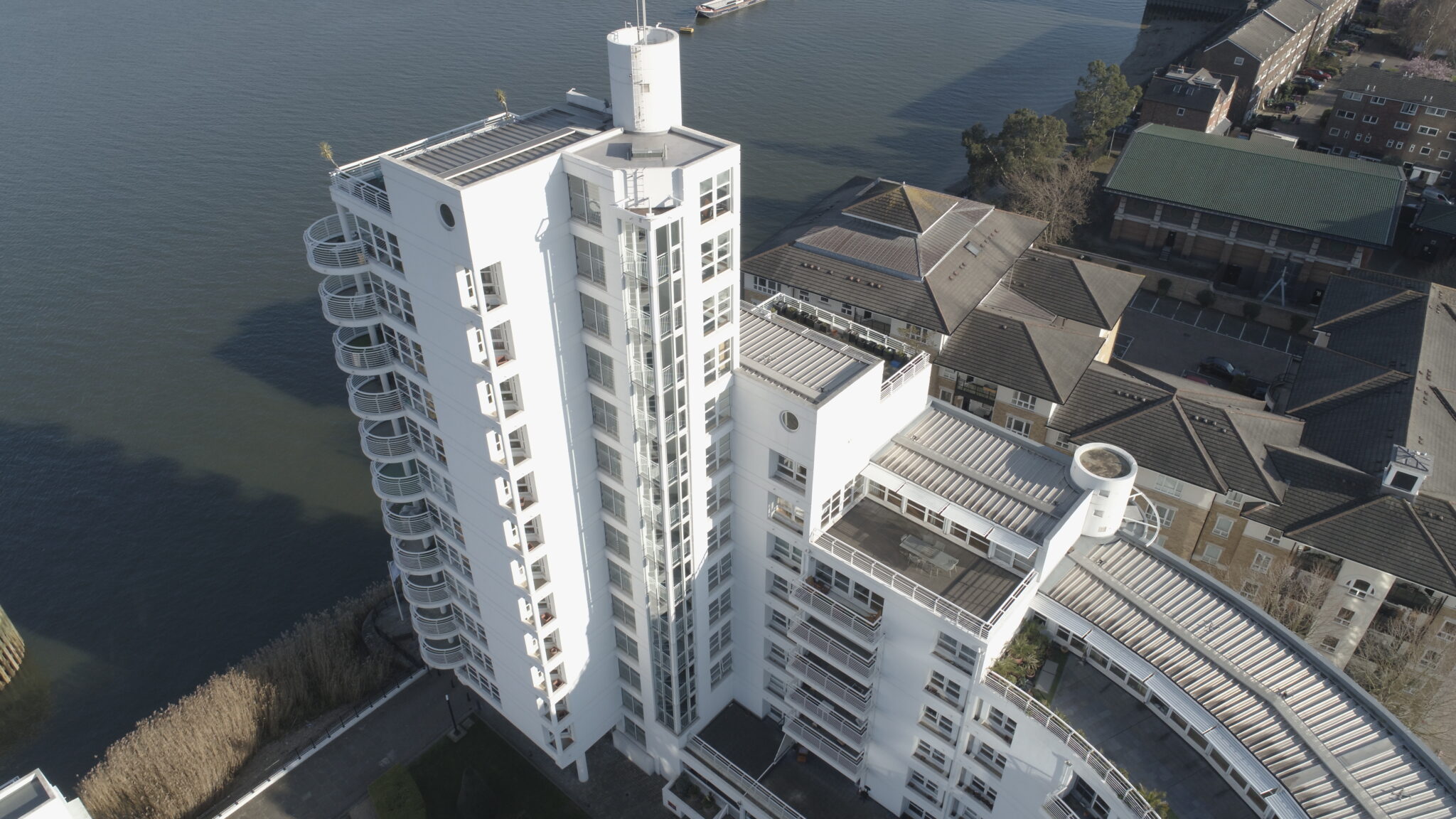
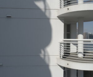
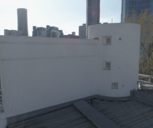
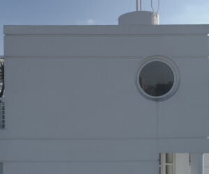
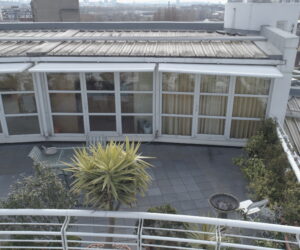
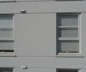
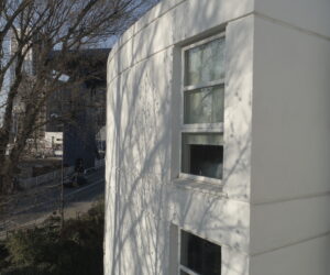
As the exterior is heavily punctuated with windows, balconies, and rising stair enclosures, it was impossible to assess the condition of the render finishes around windows, balconies and roof detailing.
Our client used the aerial data capture to assess any signs of impact damage or missing render, eroded render by wind damage, and to identify cracks clearly visible to the eye and no more than a pencil line.
Challenge
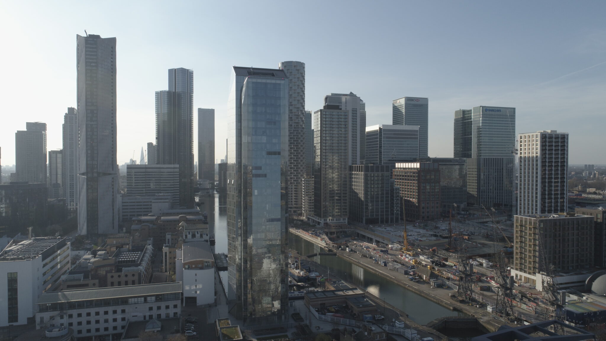
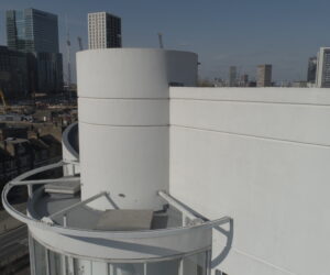
With the site situated on the Isle of Dogs, one of three designated restricted areas in central London, an Enhanced Non-Standard Flight application was necessary to fly at this location.
We carried out all relevant notifications prior to the operation, including the Canal River Trust, and liaised with building management to duly inform the residents of the flight details and key contact information.
Approach
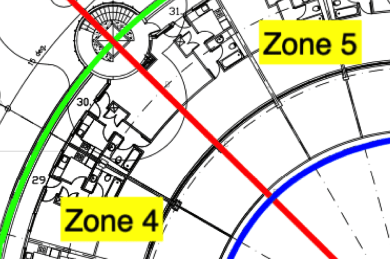
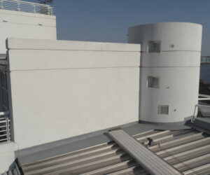
We created a unique referencing system to store the data in an accessible way, detailing annotations on site plans and using the construction of the building to dictate our methodology.
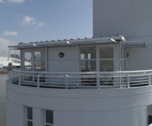
Our team worked methodically over a period of three days to achieve the data capture, incorporating high resolution images and 4K video, with clear communication with onsite staff at all times.

Let's Talk
Request a quote for a project
We offer unrivalled pricing, allowing drones to be more cost effective and accessible to our clients. Get in touch for a quote.