Project Overview
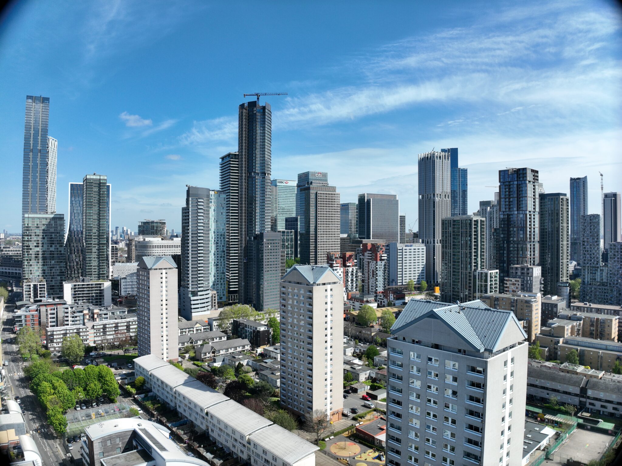
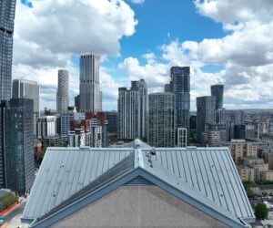
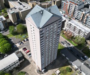
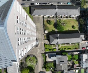
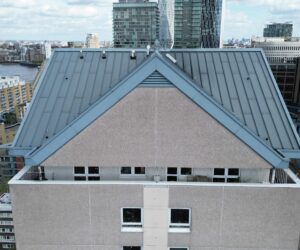
Survey Air was tasked with conducting a detailed 3D mapping survey of four, 22-storey residential blocks—Bowsprit Point, Knighthead Point, Midship Point, and Topmast Point—located on the Isle of Dogs, London.
These high-rise blocks, constructed in the late 1960s and retrofitted in the mid-1990s, required accurate and high-resolution 3D models for assessing recent storm damage and obtaining precise measurements for potential repairs and renovations.

Challenge
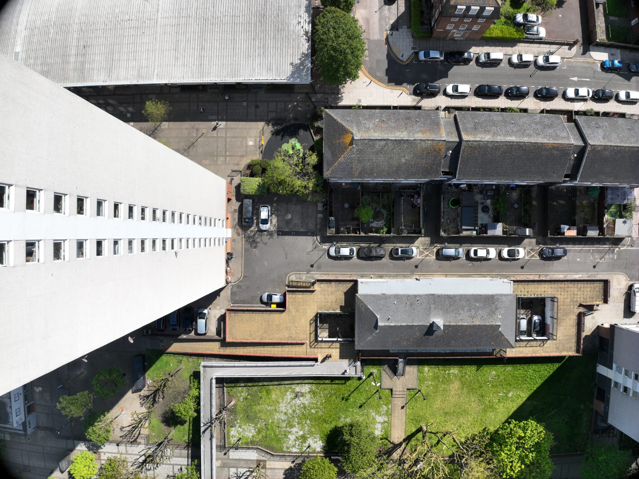
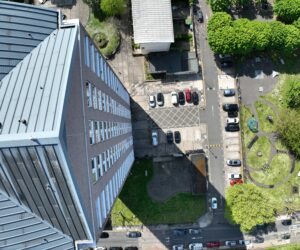
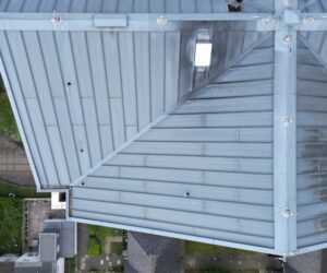
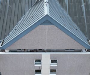
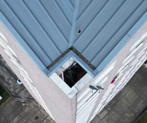
The primary challenge was the complexity and scale of the four high-rise towers, with the height and proximity of the buildings requiring careful planning to ensure thorough coverage while maintaining safe and compliant flight operations.
Another challenge was the urgency of the situation. With management already experiencing issues and temporary safety measures in place, there was significant pressure to complete the survey quickly and accurately.
Approach
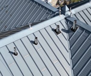
Survey Air employed a tailored flight strategy to capture high-resolution aerial imagery of all four towers. By planning precise flight paths with appropriate overlaps, we were able to create seamless and detailed 3D models in post processing.
Our efficient approach ensured that the operation was completed successfully, and the client received the required data within a tight timeframe, allowing them to proceed with the necessary assessments and urgent repairs.

Let's Talk
Request a quote for a project
We offer unrivalled pricing, allowing drones to be more cost effective and accessible to our clients. Get in touch for a quote.