Project Overview
Survey Air, a UK drone surveying company, was commissioned to carry out high-level drone surveys of a large industrial estate. The project aimed to support the client in assessing the condition of individual units prior to acquisition, identifying areas requiring repair, maintenance, or potential replacement.
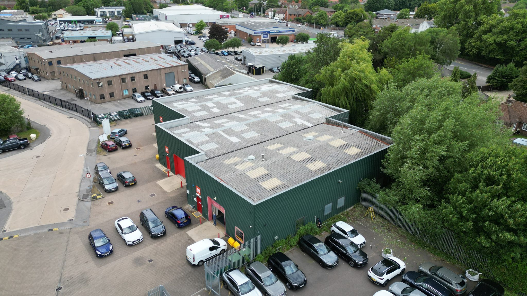
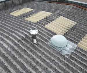
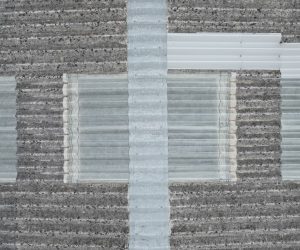
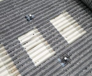
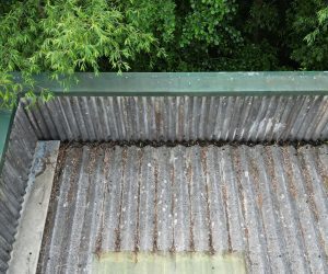
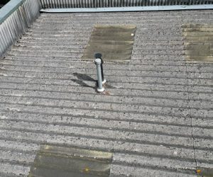
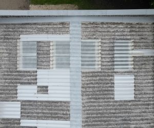
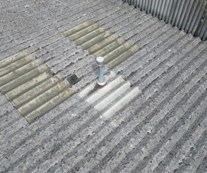
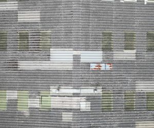
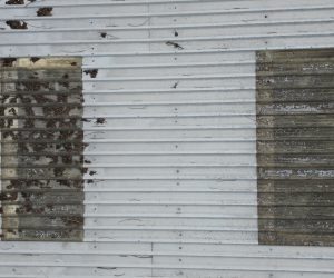
Using advanced UAV technology, the team captured high-resolution aerial imagery and oblique views of roofs, elevations, and yard areas. The outputs allowed surveyors to evaluate units remotely, providing actionable insights while reducing the need for repeated site visits.
Challenge
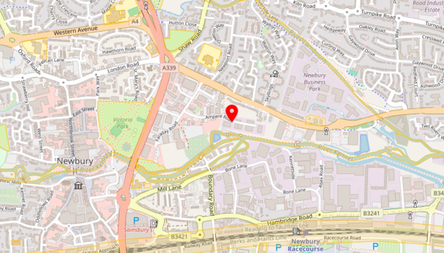
The estate’s location presented operational challenges, including congested areas, nearby rivers, and adjacent transport infrastructure, all requiring careful flight planning and safety mitigations.
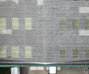
Additionally, capturing consistent, usable data for assessment was critical. Varied unit layouts, rooftop plant, and restricted access zones demanded a survey approach that ensured comprehensive coverage and clarity for surveyor analysis.
Approach
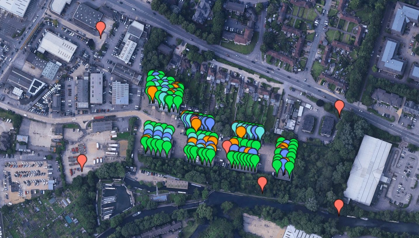
Survey Air established a detailed inspection methodology, implementing safety measures and optimised flight paths to navigate the estate’s hazards while ensuring CAA compliance.
Data was delivered through a dedicated client portal, supported by custom-built georeferenced reference maps. This enabled surveyors to quickly locate individual units, assess conditions, and make acquisition decisions efficiently, without repeated physical inspections.
Let's Talk
Request a quote for a project
We offer unrivalled pricing, allowing drones to be more cost effective and accessible to our clients. Get in touch for a quote.