Project Overview
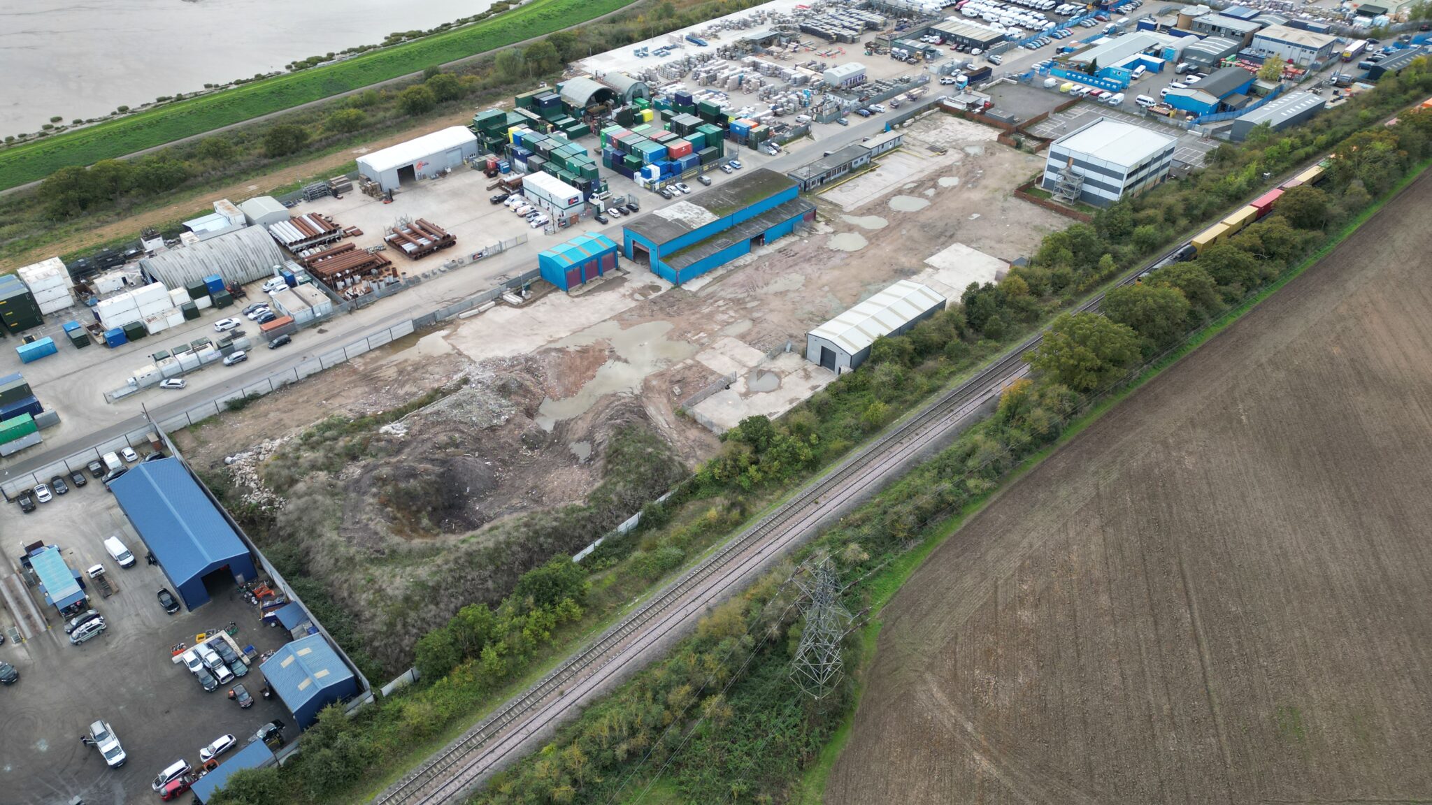
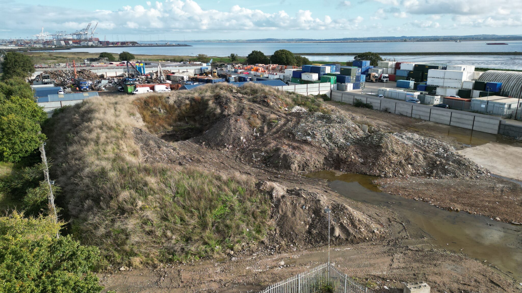
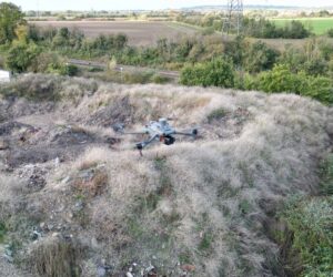
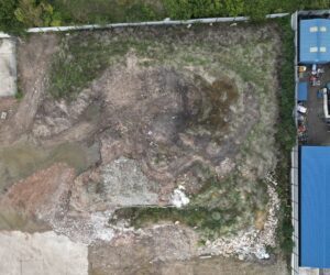
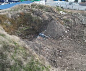
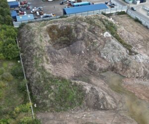
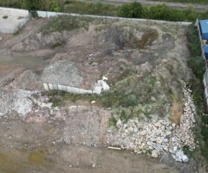
Our client required an accurate volumetric assessment of a spoil heap located on a demolition site. Traditional survey methods were deemed impractical due to the irregular shape, size, and access challenges presented by the topography.
The objective was to generate a detailed volumetric report using a 3D model of the site, constructed with drone technology, RTK systems and GNSS receivers. This data would be critical in informing pricing and specification of clearance and material disposal.
Challenge
The site posed several challenges, including dense vegetation covering parts of the spoil heap, which obscured some areas of the surface. Additionally, maintaining safety and accuracy required careful planning to ensure adherence to regulatory guidelines.
Traditional topographic surveys were unsuitable for this site due to access constraints and the time-consuming nature of manual methods, further emphasising the need for a UAV-based approach to obtain the necessary data quickly and reliably.
Approach
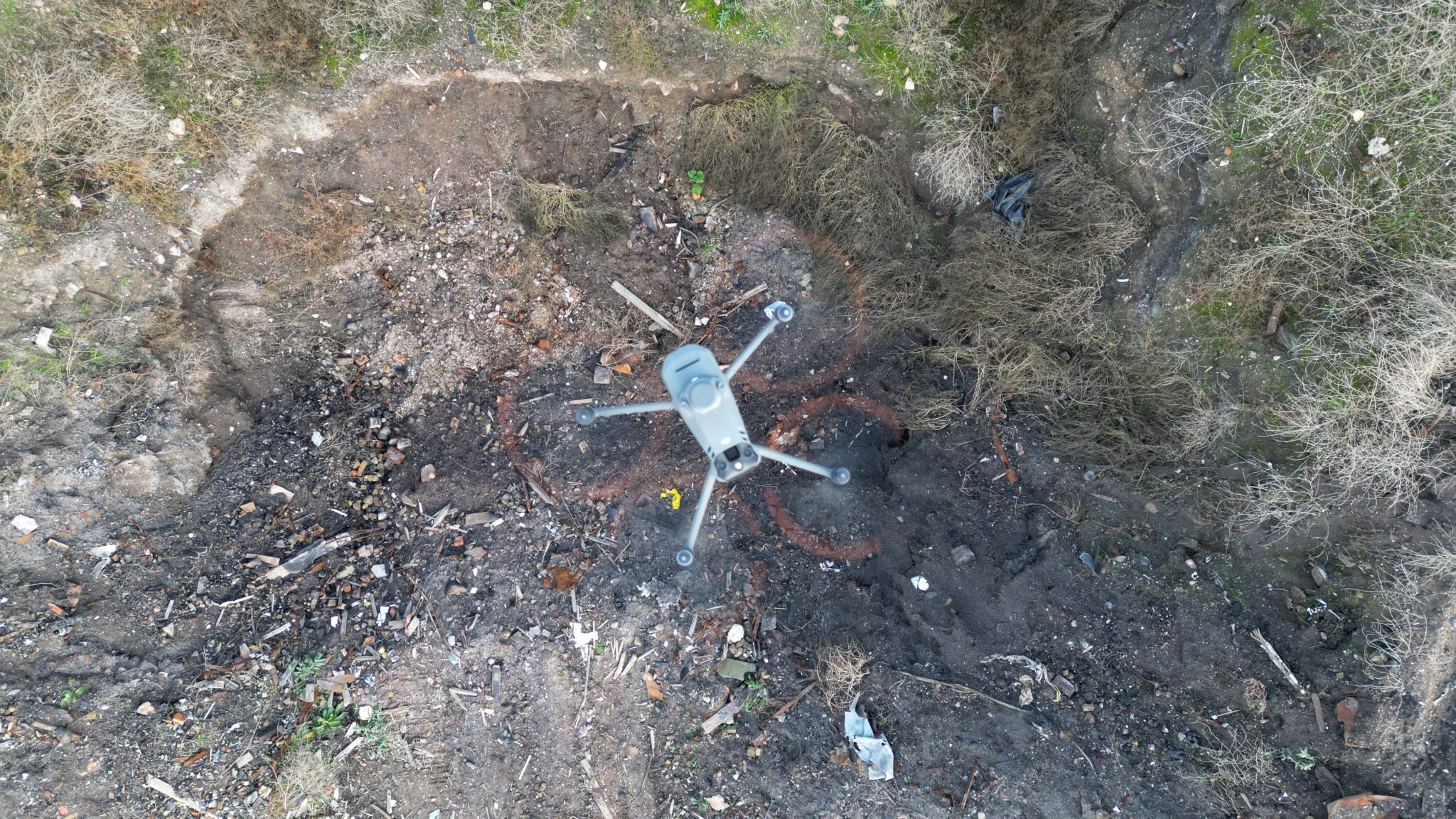
Our expert team deployed a high-accuracy drone with meticulous flight planning, and the collected data was processed to calculate the volumetric measurements relative to an interpolated flat plane representing the desired ground level.
The resulting volumetric survey report provided a highly accurate estimate of the material volume, with a measurement error margin of less than 2%. This enabled our client to plan and execute their clearance project efficiently and cost-effectively.
Let's Talk
Request a quote for a project
We offer unrivalled pricing, allowing drones to be more cost effective and accessible to our clients. Get in touch for a quote.