
Project Overview
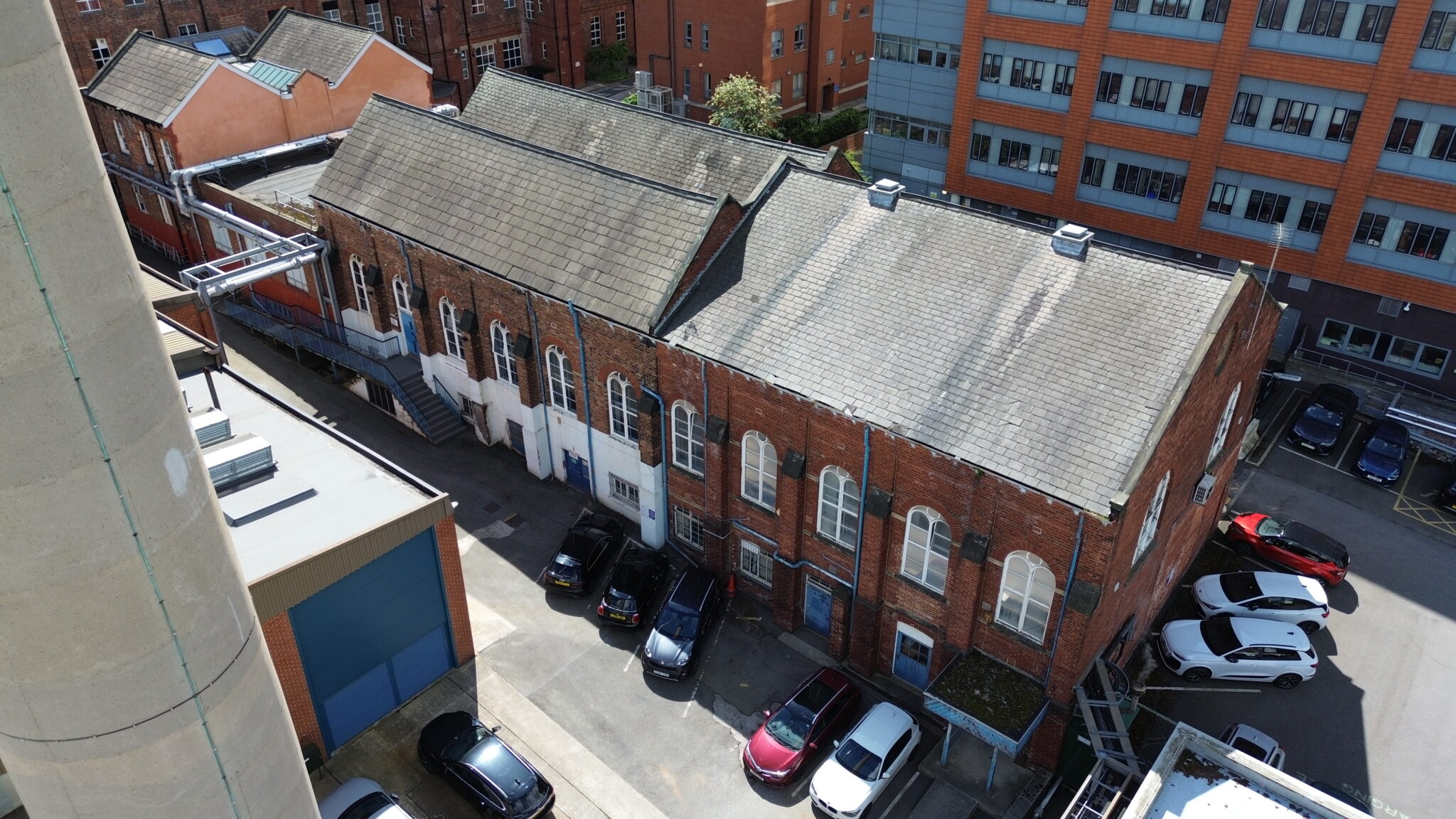
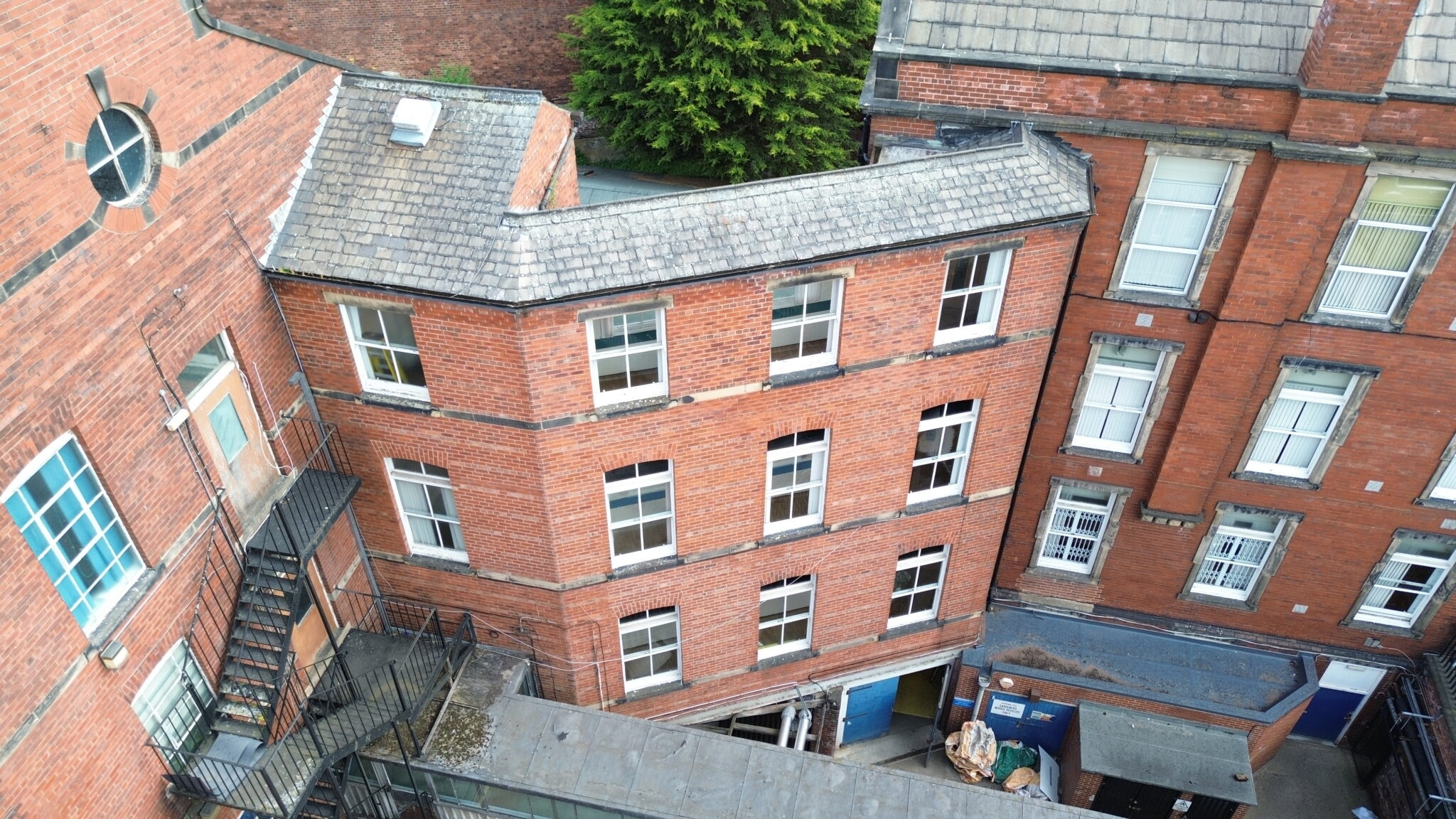
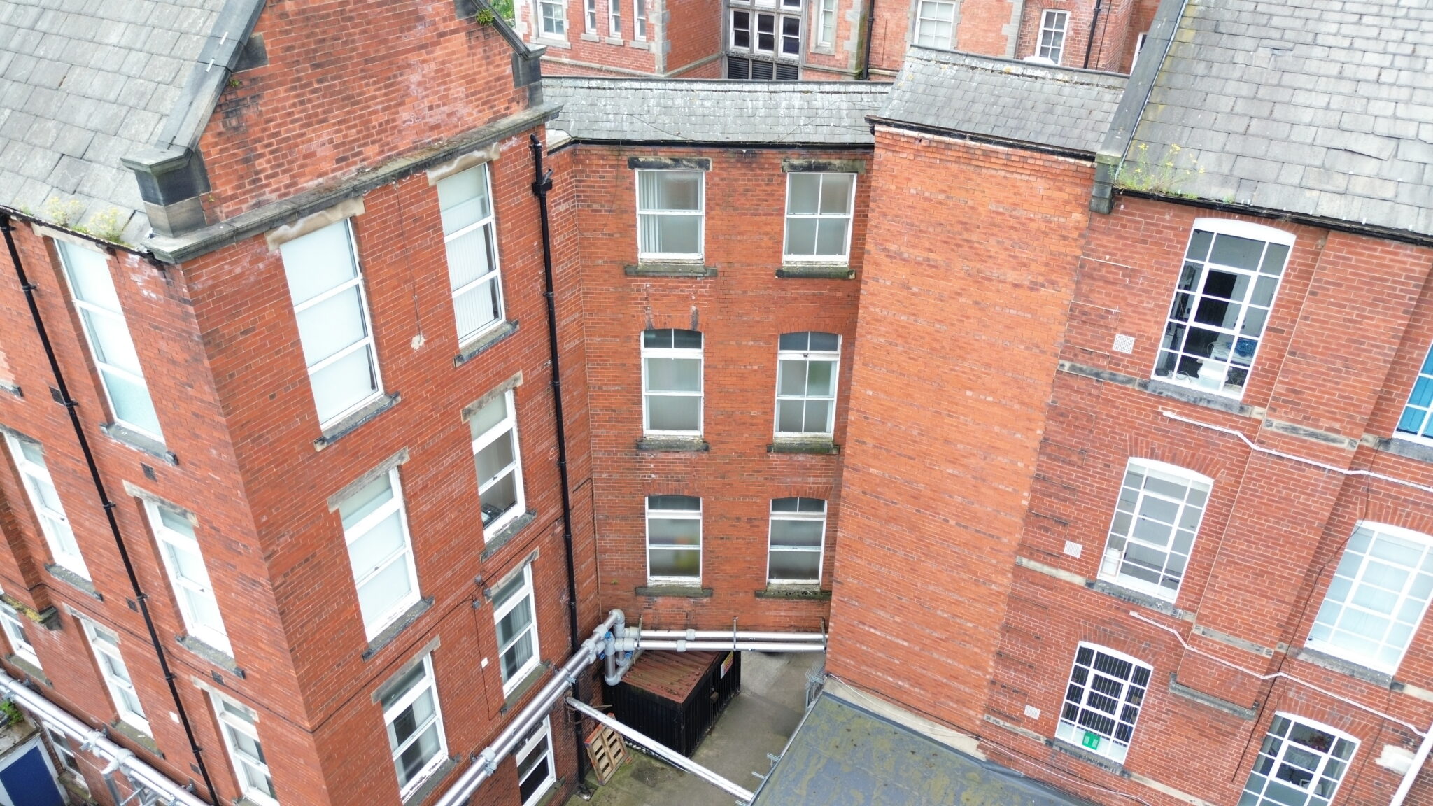
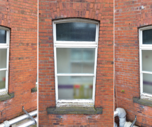
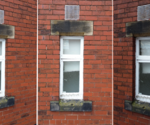
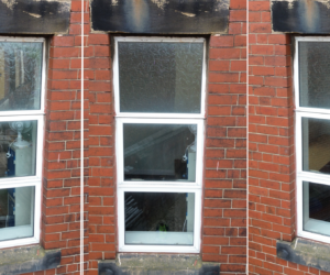
Survey Air was commissioned to undertake a UAV inspection of three historic hospital buildings within the St James's University Hospital estate. The survey focused on approximately 240 original timber windows and doors across the retained historic façades, providing detailed visual data to support a condition survey of the estate.
The objective was to produce a comprehensive photographic condition record to inform decisions on repair or replacement. Imagery was catalogued by building and elevation using the client's referencing system, creating a logical, immediately navigable dataset for surveyors assessing the historic timber fabric.
Challenge
Drone inspections within a live hospital environment required careful planning around patient privacy, operational continuity, and site safety. Close coordination with the estates team ensured staff were informed in advance, while all imagery underwent post-flight review to identify and remove any incidental views that could present GDPR concerns.
Traditional access methods, including scaffolding and MEWPs, would have introduced unnecessary disruption within the operational hospital campus. A UAV inspection therefore provided a safer, faster, and completely non-intrusive alternative, while still capturing the high-resolution imagery required for detailed condition assessment.
Approach
Survey Air implemented a systematic inspection methodology, progressing through each building and elevation using site plans as a predefined capture schedule. Every identified window and door was individually photographed from multiple viewpoints to ensure complete coverage of the timber frames, glazing, and associated external details.
The imagery was indexed using the same building and elevation references adopted by the client, producing a fully structured photographic record that could be rapidly interrogated and cross-referenced during condition assessment. The result was a survey-grade visual dataset delivered without requiring physical access to restricted or elevated areas.
Let's Talk
Request a quote for a project
We offer unrivalled pricing, allowing drones to be more cost effective and accessible to our clients. Get in touch for a quote.