001 - Journal
Recent blog posts
Read about the latest news, industry updates and services information.

Drone Survey Data Management, Security & Delivery
Drone survey data management is a critical step in turning raw aerial imagery into reliable spatial information. When most people…
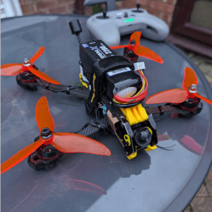
FPV Media Drone R&D Project: Phase Two
In our previous R&D post, we explored the design choices behind our move into custom-build FPV drones and UAV media…

A Guide to Cinematic and FPV Drone Media Production
Drone cinematography has progressed from a cinematic novelty into a core component of professional aerial media production. Once limited to…
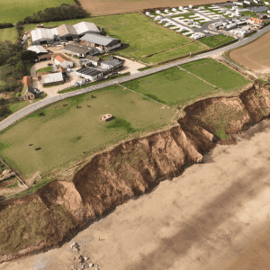
Mappleton UK Coastal Erosion Study: Revisited
Following our initial Mappleton coastal erosion survey in late 2024, Survey Air returned in 2025 to continue monitoring one of…

UK SORA & BVLOS Drone Operations Explained
In recent years, drone technology has rapidly advanced, enabling longer flight times, smarter sensors, and safer aircraft that are able…
What Is Scan-to-BIM? LiDAR Process, Benefits, and Applications
The Future of Scan-to-BIM in the UK Scan-to-BIM is the first step in many BIM workflows, where physical environments are…
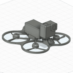
FPV Media Drone R&D Project: Phase One
At Survey Air, we are constantly looking to push ourselves with how we capture and deliver drone data. Our latest…
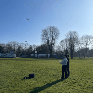
Journey to Becoming a GVC Qualified Drone Pilot
My passion for aviation has been a constant throughout my life, shaped by my family’s involvement in a local gliding…
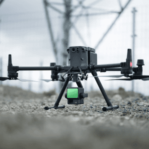
LiDAR Data Capture & Processing
At Survey Air, we are always looking for ways to enhance our aerial mapping capabilities. With the growing demand for…