001 - Overview
What is a LiDAR?
Understanding the process of LiDAR is essential for achieving the right outcome for your project.
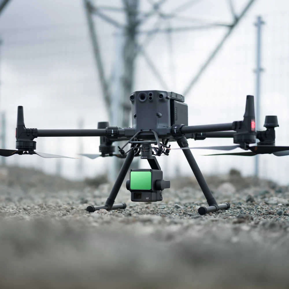
LiDAR, or Light Detection and Ranging, uses an active sensor, which both emits and measures the return of millions of laser pulses, targeted at an object or surface.
How is the data collected?
By measuring the time it takes for laser pulses to return to the sensor from the surface, a precise measure of the distance between the two can be established, enabling information pertaining to the shape and surface characteristics of an area.
How is the data processed?
LiDAR processing software leverages the precise camera specifications and geolocation data by calculating the exact position of each point in the real world, which involves complex algorithms that triangulate distances, creating a dense point cloud.
Why use LiDAR?
LiDAR’s inherent properties allow for the generation of an additional measure – intensity – exploited to gain texture or ‘roughness’ of surfaces. With the addition of an RGB camera, LiDAR is capable of producing both highly accurate and colour-calibrated point clouds.
002 - Equipment
What are the key elements of LiDAR?
Harness the power of LiDAR and discover a world of possibilities for the benefit of your projects.
What UAV imaging hardware is required?
With wide range of industry leading imaging technologies, several factors are important when considering the right hardware for producing an accurate LiDAR model.
UAVs
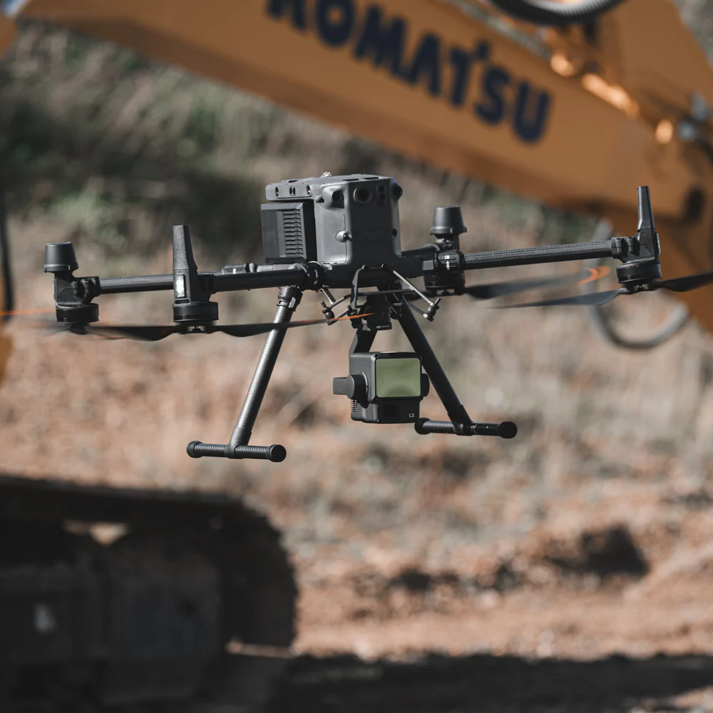
Determining the correct un-manned aerial vehicle (UAV) to use for each project is a crucial step, and will be influenced by operational tasks and constraints.
Payloads
Highly specialised laser cameras and scanners, such as the Zenmuse L2, are essential in ensuring that the LiDAR mapping and data outputs attain a high-quality outcome.
Accessories
For accurate measurement of return signals, LiDAR systems incorporate advanced positioning and navigation systems for absolute position and orientation of the sensor.
003 - AIRCRAFT
What UAVs can be used for LiDAR?
We operate industry-leading UAV aircraft with a wide range of specifications and capabilities.
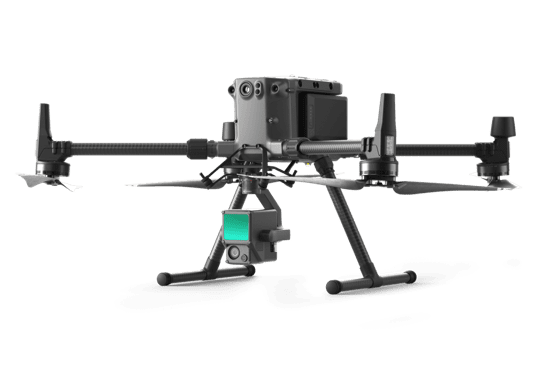
DJI Matrice 350 Zenmuse L2
A versatile UAV platform and compatible with a suite of payloads, facilitating wide-ranging data collection.
M3E Wide Camera
20MP
~1cm GSD @~40m altitude
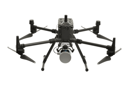
DJI Matrice 350 SLAM
A versatile UAV platform and compatible with a suite of payloads, facilitating wide-ranging data collection.
DJI Zenmuse P1 Camera
45MP
~0.35cm GSD @~40m altitude
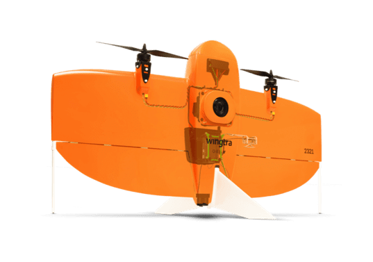
WingtraOne PPK
A high-quality surveying tool for accurate data collection, ideal for large-scale mapping and photogrammetry.
WingtraOne RGB61 Camera
61MP
~0.63cm GSD @~40m altitude
004 - FAQ
Want to find out more?
Everything you need to know about LiDAR.
DSMs, DTMs, 3D Models/Digital Twins, Point Clouds and Volumetric Reports can all be generated efficiently and effectively using drone-based LiDAR. These products can additionally be colourised to improve photorealistic qualities via the addition of an RGB imager payload.
Certainly, please contact us to discuss your site’s layout and data formatting requirements, and we will be happy to ensure that you can complete your survey to the highest standards and elevations.
While we work with our clients on an individual basis to understand the level of detail required, we have previously captured ultra-high resolution data at a level enabling individual dandelion flowers to be rendered in 3D, as well as capturing sites at the scale of small villages at the other end of the scale.
LiDAR, like other data capture technology, benefits from improved results with sites subject to minimal movement, however, can accurately capture mostly static surfaces, even if obscured by highly mobile site features such as trees moving in the wind.
005 - Contact
Have a project to discuss?
Have a project to discuss? Get in touch for a quote.