001 - Overview
What is Multispectral Imagery?
Understanding the process of Multispectral Imagery is essential for achieving the right outcome for your project.

Multispectral imagers record and measure light in several different wavelengths, including visible light and infrared light, which together represent the wavelengths of all forms of electromagnetic radiation.
How is the data collected?
RGB and infrared imagery is captured with the resulting data being a ‘multiband’ image, composed of those 4 bands. Each band represents a tiny range of wavelengths, denoting the spectral resolution, within which the light sensed at the multispectral sensor is measured..
How is the data processed?
The power in recording these individual bands of light using specialised multispectral imagery, lies in each wavelengths unique characteristics of reflection off different types of surfaces. These characteristics enable the revealing of ‘hidden’ information.
Why use Multispectral Imagery?
Measure factors such as soil moisture, plant health and the presence of water, which can be essential to farmers, foresters and other stakeholders in the land and agricultural management sectors, looking to guarantee the most effective land management practices.
002 - Equipment
What are the key elements of Multispectral Imagery?
Harness the power of Photogrammetry and discover a world of possibilities for the benefit of your projects.
What UAV imaging hardware is required?
With wide range of industry leading imaging technologies, several factors are important when considering the right hardware for producing an accurate photogrammetric model.
UAV
Determining the correct un-manned aerial vehicle (UAV) to use for each project is a crucial step, and will be influenced by operational tasks and constraints.
Camera
Highly specialised cameras are arguably the most important factor in ensuring that the multispectral imaging and processing outputs attain a high-quality outcome.
Accessories
RTK and PPK enable cm-accurate geolocation to ensure survey-grade outputs, and supplemented with GNSS mobile base stations for Ground Control Points (GCPs).

003 - AIRCRAFT
What UAVs can be used for Multispectral Imagery?
We operate industry-leading UAV aircraft with a wide range of specifications and capabilities.

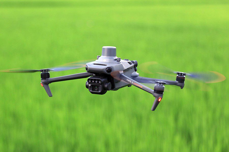
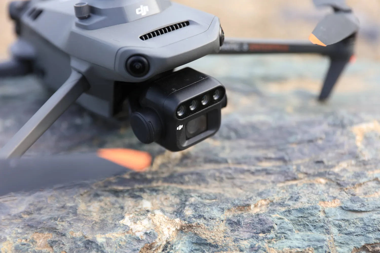
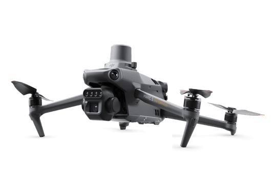
DJI Multispectral Camera
Survey-grade and highly portable, mapping sites from individual properties to large construction sites.
4-band with 20MP RGB Camera
Red-Edge (R-E): 5MP | 730nm ±16nm
NearInfrared (NIR): 5MP | 860nm ±26nm

MicaSense RedEdge-p Sensor
A high-quality surveying tool for accurate data collection, ideal for large-scale mapping and photogrammetry.
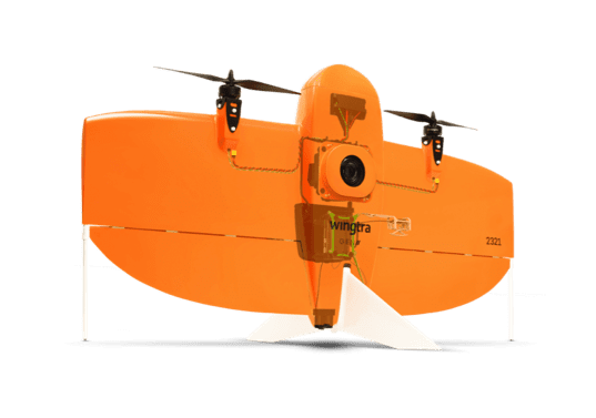
WingtraOne RGB61 Camera
61MP
~0.63cm GSD @~40m altitude
004 - FAQ
Want to find out more?
Everything you need to know about Multispectral Imagery.
Spectral resolution as low as 10nm and sub-cm spatial resolution are achievable. These capabilities make UAV-based multispectral imagers highly effective for tasks requiring detailed spectral and spatial information, such as monitoring crop health, assessing water quality, or analysing forest cover.
NDVI (Normalized Difference Vegetation Index) is a calculated index using the red and NIR bands. It provides a measure of vegetation health, as healthy vegetation reflects more NIR and absorbs more red light. NDVI is important for several applications, especially in agriculture, forestry, and environmental monitoring.
Depending on the combinations obtained, multispectral imagery can be post-processed into several different types of outputs, such as NDVI, NDWI or NDTI. On their own, these products are highly indicative of the issues which they are respectively aimed at identifying, however, it may also be that they are given further context within the scope of a comprehensive ecological or hydrochemical assessment by an external expert.
Factors include the resolution and sensitivity of the multispectral camera, the altitude and speed of the UAV, lighting conditions during the flight, and the accuracy of GCP placement and measurement.
005 - Contact
Have a project to discuss?
Have a project to discuss? Get in touch for a quote.