001 - Overview
What is Photogrammetry?
Understanding the process of Photogrammetry is essential for achieving the right outcome for your project.
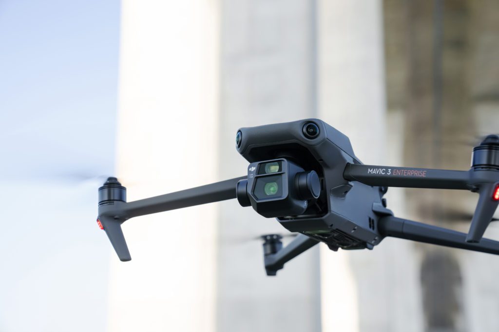
Photogrammetry is a technique by which multiple images of a scene, such as a building or landscape, are ‘tied’ together by identifying common points in the overlapping areas of several images.
How is the data collected?
By knowing the internal specifications of the lens and camera used to collect images, along with ultra-precise geolocation technology such as RTK, the distances of several images of the same object taken from different locations can be triangulated to a point on that object.
How is the data processed?
Using this information, photogrammetry processing software can then calculate and recreate this information digitally, generating highly accurate, photorealistic digital 3D representations of landscapes or buildings.
Why use Photogrammetry?
Photogrammetry facilitates the design and analysis of buildings and infrastructure, enabling precise measurements and visualisations for project planning and monitoring, while it is also invaluable in creating topographic maps and 3D terrain models.
002 - Equipment
What are the key elements of Photogrammetry?
Harness the power of Photogrammetry and discover a world of possibilities for the benefit of your projects.
What UAV imaging hardware is required?
With wide range of industry leading imaging technologies, several factors are important when considering the right hardware for producing an accurate photogrammetric model.
UAV
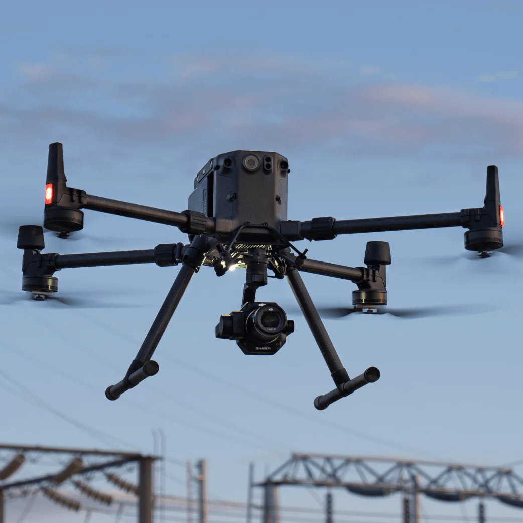
Determining the correct un-manned aerial vehicle (UAV) to use for each project is a crucial step, and will be influenced by operational tasks and constraints.
Camera
Highly specialised cameras are arguably the most important factor in ensuring that the photogrammetric mapping and modelling outputs attain a high-quality outcome.
Accessories
RTK and PPK enable cm-accurate geolocation to ensure survey-grade outputs, and supplemented with GNSS mobile base stations for Ground Control Points (GCPs).
003 - AIRCRAFT
What UAVs can be used for Photogrammetry?
We operate industry-leading UAV aircraft with a wide range of specifications and capabilities.
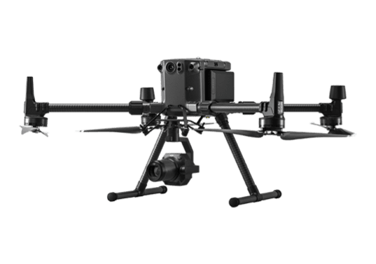
DJI Matrice 350 RTK
A versatile UAV platform and compatible with a suite of payloads, facilitating wide-ranging data collection.
DJI Zenmuse P1 Camera
45MP
~0.35cm GSD @~40m altitude
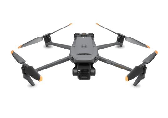
DJI Mavic 3 Enterprise RTK
Survey-grade and highly portable, mapping sites from individual properties to large construction sites.
M3E Wide Camera
20MP
~1cm GSD @~40m altitude
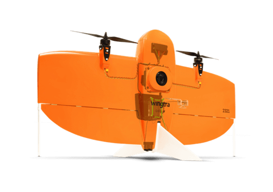
WingtraOne PPK
A high-quality surveying tool for accurate data collection, ideal for large-scale mapping and photogrammetry.
WingtraOne RGB61 Camera
61MP
~0.63cm GSD @~40m altitude
004 - FAQ
Want to find out more?
Everything you need to know about Photogrammetry.
DSMs, DTMs, 3D Models/Digital Twins, Point Clouds, 2D Orthomosaics and Volumetric Reports can all be generated efficiently and effectively using drone photogrammetry.
Photogrammetry is ideal for most terrestrial sites where high-quality, photorealistic visualisation, as well as a high degree of accuracy is desired. Our team will be happy to assess your unique site/s and provide you with further guidance as to which products could be beneficial and at what scales, according to each site’s individual needs.
While we work with our clients on an individual basis to understand the level of detail required, we have previously captured ultra-high resolution data at a level enabling individual dandelion flowers to be rendered in 3D, as well as capturing sites at the scale of small villages at the other end of the scale.
Photogrammetry relies on the target of the survey being relatively immobile or static, this means that areas with a lot of moving objects, such as a forest on a windy day or moving oceans, are better suited to other forms of data capture technology.
005 - Contact
Have a project to discuss?
Have a project to discuss? Get in touch for a quote.