001 - Overview
What is a 2D Orthomosaic?
Understanding the terms and appropriate uses is essential for achieving the right outcome for your project.

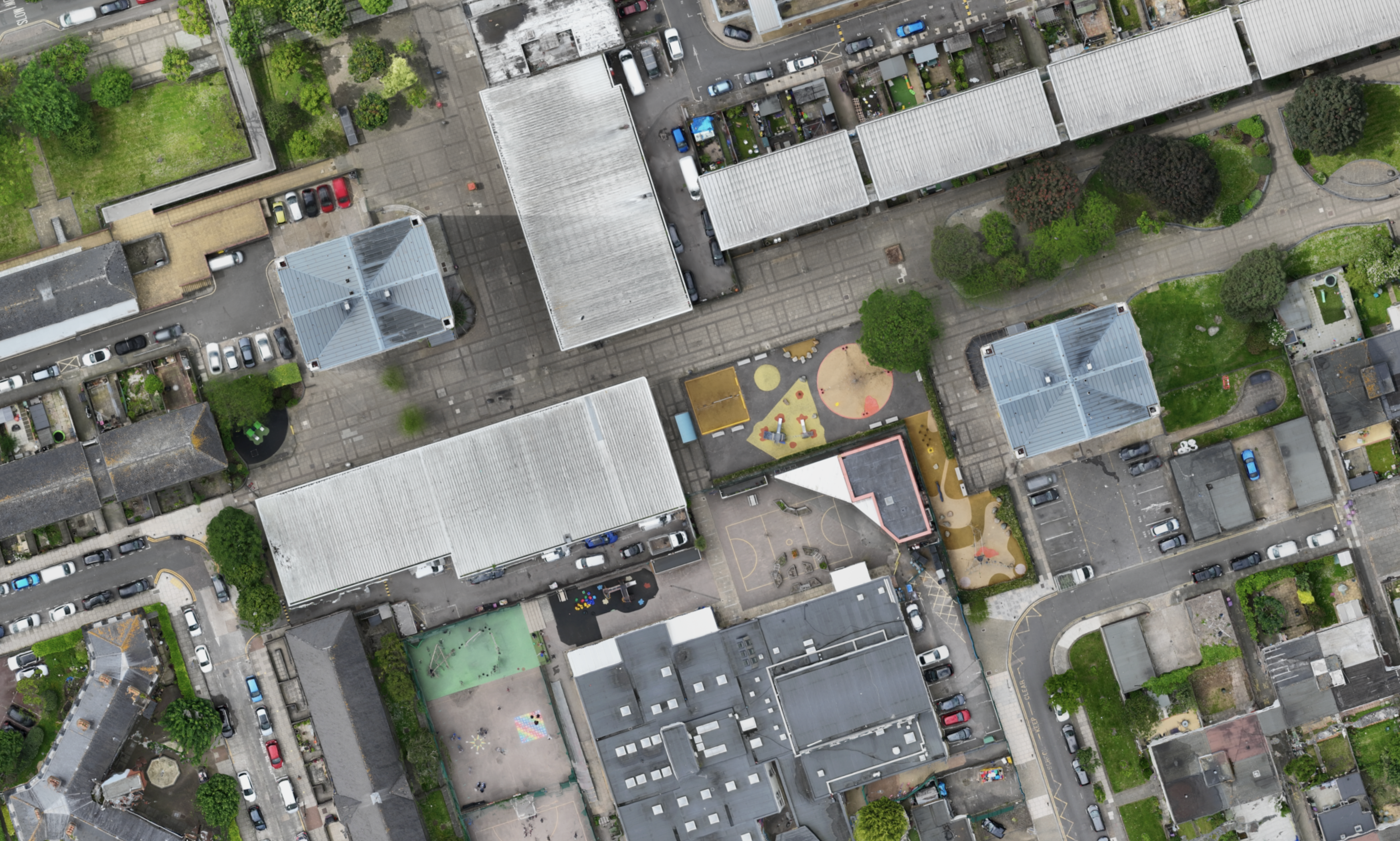
A 2D orthomosaic is a geometrically corrected image composed of multiple aerial photographs stitched together, allowing for accurate measurements of distances, areas, and angles directly from the map.
What is the difference between UAV & Satellite imagery?
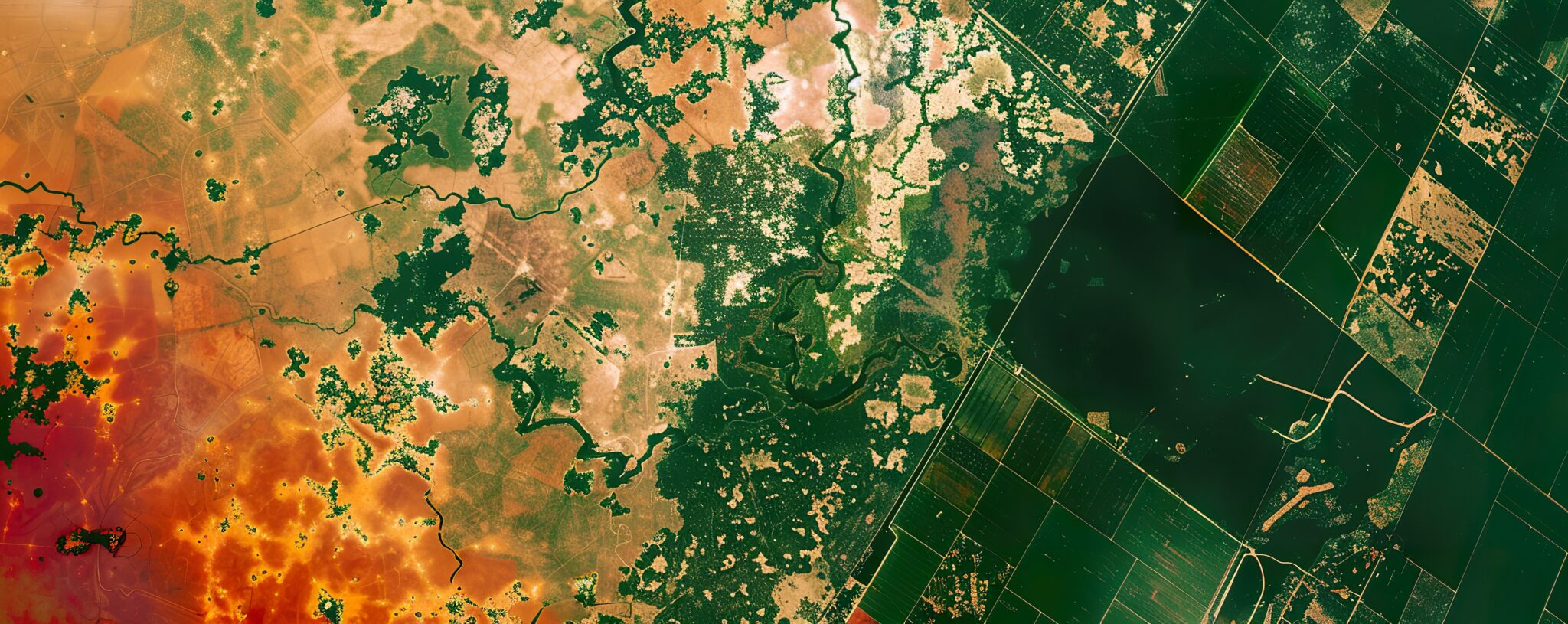
You may be familiar with high-resolution satellite imagery from services such as Google Earth, however, the resolution of their images is still several times lower than that which can be achieved with UAV imagery.
UAV Imagery
UAVs can achieve pixel sizes of less than 1cm, allowing comprehensive identification of all features on a site where a high accuracy is essential.
Satellite Imagery
Satellites are capable of creating imagery with a pixel size of 20-50cm, meaning that ‘thin’ features may not resolve when viewed from above.
002 - Advantages
What are the key strengths of 2D Orthomosaics?
Harness the power of technology for superior planning, monitoring, and decision-making in your projects.
What are the main benefits of 2D Orthomosaics?
Orthomosaics are the foundation for topographic maps, allowing for excellent geolocation of urban and natural landscapes due to their compatibility with traditional 2D maps.
High Accuracy Basemaps
Orthomosaics provide an essential basis for several high-accuracy, top-down mapping outputs such as topographic maps, cadastral maps and more.
Simplicity & Versatility
Orthomosaics can be shared and exported easily across the majority of geospatial software applications in industry-standard GIS, BIM & CAD formats.
Georeference Historical Maps
Orthomosaics represent geospatial information in a format which has been used for centuries – 2D top-down maps – allowing for compatibility with historical maps.

Coming Soon: 2D Orthomosaic Demo
003 - Industry Sectors
How will 2D Orthomosaics benefit my project?
We leverage cutting-edge UAV imaging technologies tailored to meet specific project needs.
Architecture, Engineering & Construction (AEC)
Topographic Mapping
Detailed elevation data essential for creating accurate topographic maps used in various applications like urban planning, construction and land-use management.
Site Planning
Help engineers and architects in planning construction sites by providing detailed information about the terrain, allowing for better building placement and design.
Renewable Energy & Infrastructure
Digitising Infrastructure Features
Accurate digitisation or automatic classification of lineal or polygonal features, converted into assets in geospatial data or asset management systems.
Renewable Energy Asset Management
Manage large wind or solar farms, by extracting and updating a geospatial database of information related to maintenance and numbers of individual assets.
Surveying & Property
Measured Survey
2D Orthomosaic maps offer accurate site dimensions, perfect for boundary verification, planning construction projects, or calculating property area.
Boundary Disputes
Settle boundary disputes quickly with detailed visuals, and identifying potential encroachments and ensure clear property lines for future reference.
Environmental Management
Habitat Identification
Provides a basis for 2D maps to facilitate automated or manual segmentation of different habitat and landscape types to aid ecological surveys.
Pre-Post Disaster Change
Enabling efficient visualisation of change over very wide area due to natural disasters, which in turn allows for effective targeting of resources.
Agriculture & Farming
Slope 'Aspect' Crop Growth
DEMs can allow the optimisation of planting along south-facing slopes, where higher levels of sunlight are required to boost crop growth.
Crop Health
2D Orthomosaics generated with RGB imagery can now be used to measure crop health, where only multispectral imagery enabled this capability previously.
Heritage Conservation
Historical Map Comparisons
Identify commonalities between historical and modern-day maps of areas with cultural heritage artefacts, or monitoring changes to a conservation area.
Ancient Landscape Reconstruction
Identify ancient landscape features such as road networks or ruins, and easily digitise these features into a GIS database or heritage management system.
004 - FAQ
Want to find out more?
Everything you need to know about our 2D Orthomosaics.
Orthomosaics can be accurate to within a few centimetres or even better in some cases. We use high accuracy RTK, along with ground control points, to measure the accuracy attained and ensure that our clients receive the best results for orthomosaics.
A range of software used in different industries, such as CAD, GIS and BIM, are all capable of importing orthomosaics and products derived from them, such as topographic maps.
The ultra-high resolution of imagery captured via UAV makes it possible to identify even the smallest features. For example, in some cases, resolution can be high enough even to identify individual daisies in grassy area or millimetre wide cracks in a building’s facade. The level of detail achievable will be determined by how close we can get to the target, which will in turn depend on flight hazards and privacy concerns on site.
005 - Contact
Have a project to discuss?
Have a project to discuss? Get in touch for a quote.