001 - Overview
What is a Point Cloud?
Understanding the terms and appropriate uses is essential for achieving the right outcome for your project.

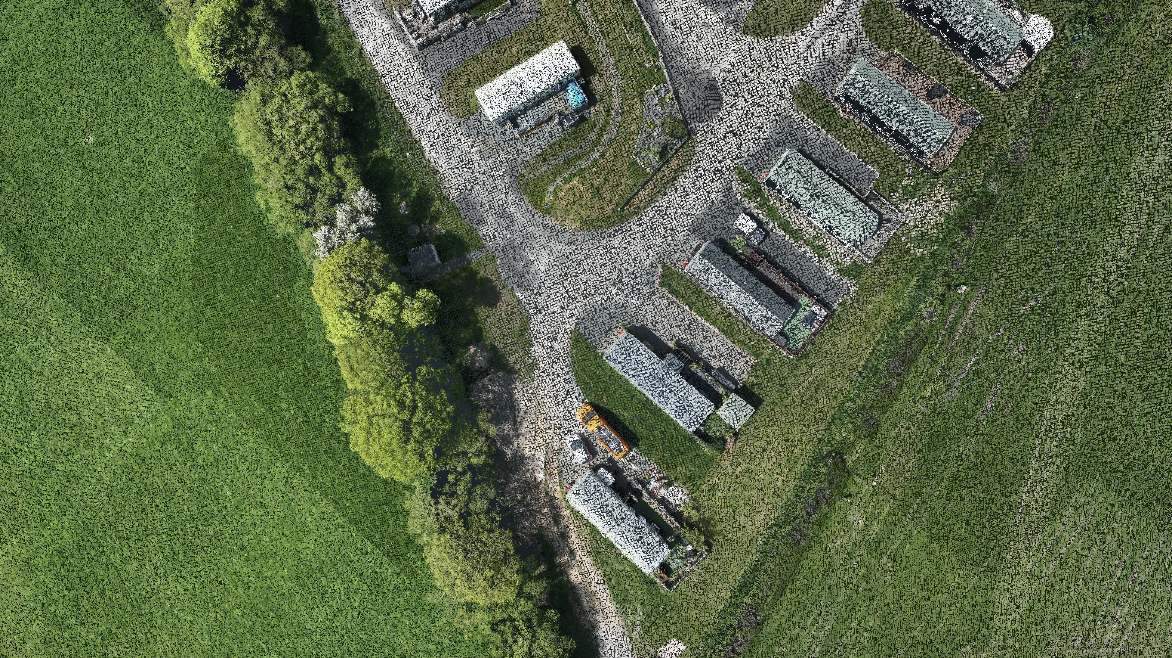
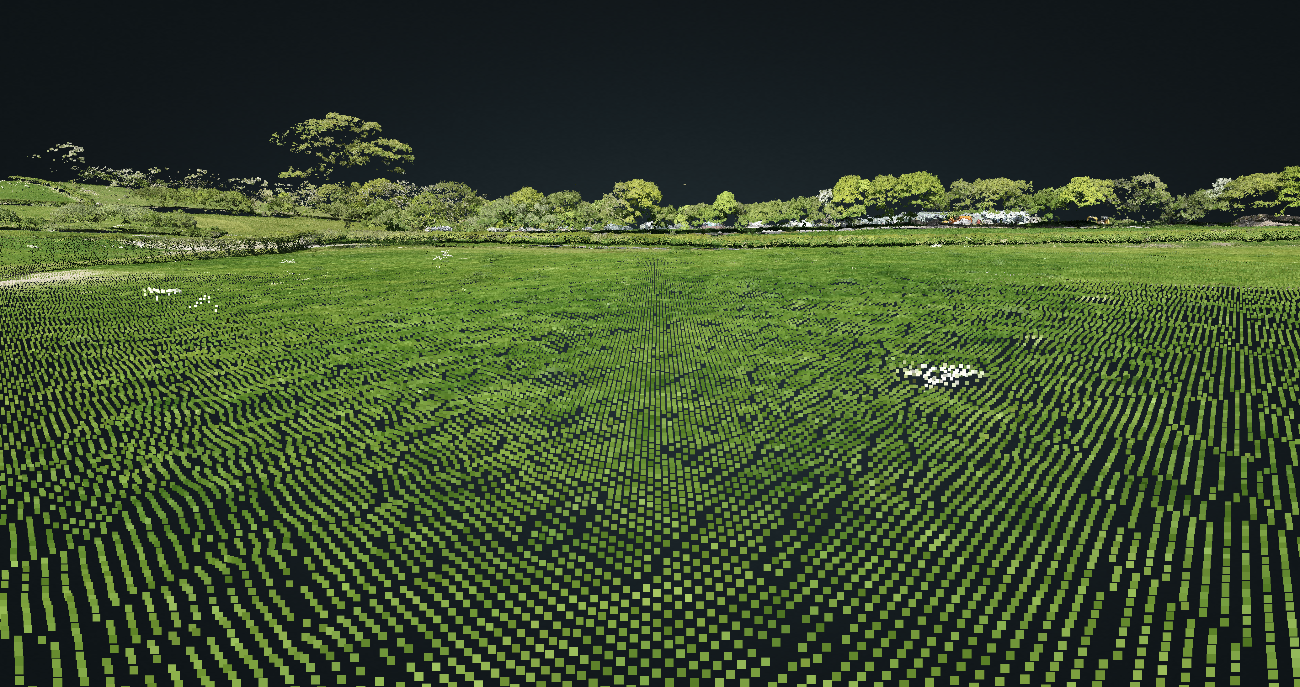
A point cloud is a collection of data points defined by a given 3D coordinate system, containing a high density of points, allowing for a highly detailed representation of the environment.
What are the differences between Photogrammetry & LiDAR point clouds?
LiDAR-derived and photogrammetry-derived point clouds can look very similar, and have very similar levels of accuracy, but the way in which they are collected can result in point clouds with slightly different characteristics.
Photogrammetry
Photogrammetry can produce highly dense, photo-realistic point clouds, and with minimal hardware and processing time. Learn More.
LiDAR
LiDAR scanners usually have an additional attribute – intensity – which may include information such as texture or roughness of a surface. Learn More.
002 - Advantages
What are the key strengths of Point Clouds?
Harness the power of technology for superior planning, monitoring, and decision-making in your projects.
What are the main benefits of Point Clouds?
Point clouds are precursors to several different types of 3D and 2.5D model products, and are hence common products among geospatial software and practitioners.
Versatility
Point clouds can be transformed into various 3D models, and form the basis for products such as Digital Elevation Model and 3D Building Model.
Direct Measurement
Extract precise measurements directly from the point cloud, avoiding potential errors from subsequent modelling, which may approximate surfaces.
Geospatial Data Management
Point clouds represent the environment or object quantitatively, making them useful to target specific areas or characteristics associated with each point.

Coming Soon: Point Cloud Demo
003 - Sectors
How will Point Clouds benefit my project?
We leverage cutting-edge UAV imaging technologies tailored to meet specific project needs.
Architecture, Engineering & Construction (AEC)
Topographic Mapping
Detailed elevation data for creating accurate topographic maps used in various applications like urban planning, construction, and land use management.
Site Planning
Help engineers and architects in planning construction sites by providing detailed information about the terrain, allowing for better project and risk management.
Energy & Infrastructure
Infrastructure Development
They are used in the design and construction of infrastructure such as roads, bridges, and tunnels, ensuring that they are built in the most suitable locations.
Renewable Energy Planning
Assessing solar potential and shading effects, ensuring the strategic placement of wind turbines for maximum efficiency and energy yields.
Surveying & Property Maintenance
Proactive Asset Management
Prioritise maintenance needs, schedule renovations, and track changes over time, empowering you to make strategic investments and maximise value.
Targeted Repairs
Identify potential building defects such as damaged roofs or facades, allowing for proactive maintenance and accurate budget cost estimations.
Telecommunications
Signal Propagation Analysis
Plan and optimise the placement of cellular towers and other communication infrastructure for better coverage and performance.
Network Planning
Designing complex telecommunications networks in urban and rural areas, considering the impact of terrain and buildings on signal transmission.
Archaeology & Cultural Heritage
Site Documentation
Creating high-resolution 3D models of archaeological sites, conservation areas and historical landmarks for future preservation and study.
Virtual Reconstruction
Reconstructing historical sites and artefacts in a 3D perspective to help visualise and analyse their original appearance and function.
Environmental Management
Forest Inventory & Management
Analyse forest structure, estimate biomass, and plan sustainable operations to improve water quality, soil health, and carbon sequestration capability.
Flood Modelling
Simulate water flow, including runoff from building and around structures, helping in designing flood defences and planning evacuation routes.
004 - FAQ
Want to find out more?
Everything you need to know about our Point Clouds.
We would be happy to discuss the most efficient and cost-effective option for your project, but generally speaking, we would recommend LiDAR for projects where a significant part of the site is highly vegetated, or for very fine features such as powerlines and cabling. Where point clouds must be fused with terrestrial surveys, it’s also likely that LiDAR will be preferred to ensure similarity between point values in point clouds.
Point clouds can be accurate to within a few centimetres or even better in some cases. We use high accuracy RTK, along with ground control points, to measure the accuracy attained and ensure that our clients receive the most accurate results for point clouds.
Certainly, upon discussing with our clients the level of detail required and the characteristics of the data and outputs necessary, we can produce UAV-derived point clouds fit for integration with extensive ground surveys.
A range of software used in different industries, such as CAD, GIS and BIM, are all capable of importing point clouds, due to a range of standardised and specialist industry file formats.
005 - Contact
Have a project to discuss?
Have a project to discuss? Get in touch for a quote.