001 - Oveview
Discover the extensive capabilities of advanced UAV operations
We leverage state-of-the-art drone technology, enabling a wide range of aerial data solutions for various industries.
What is the definition of 3D mapping?
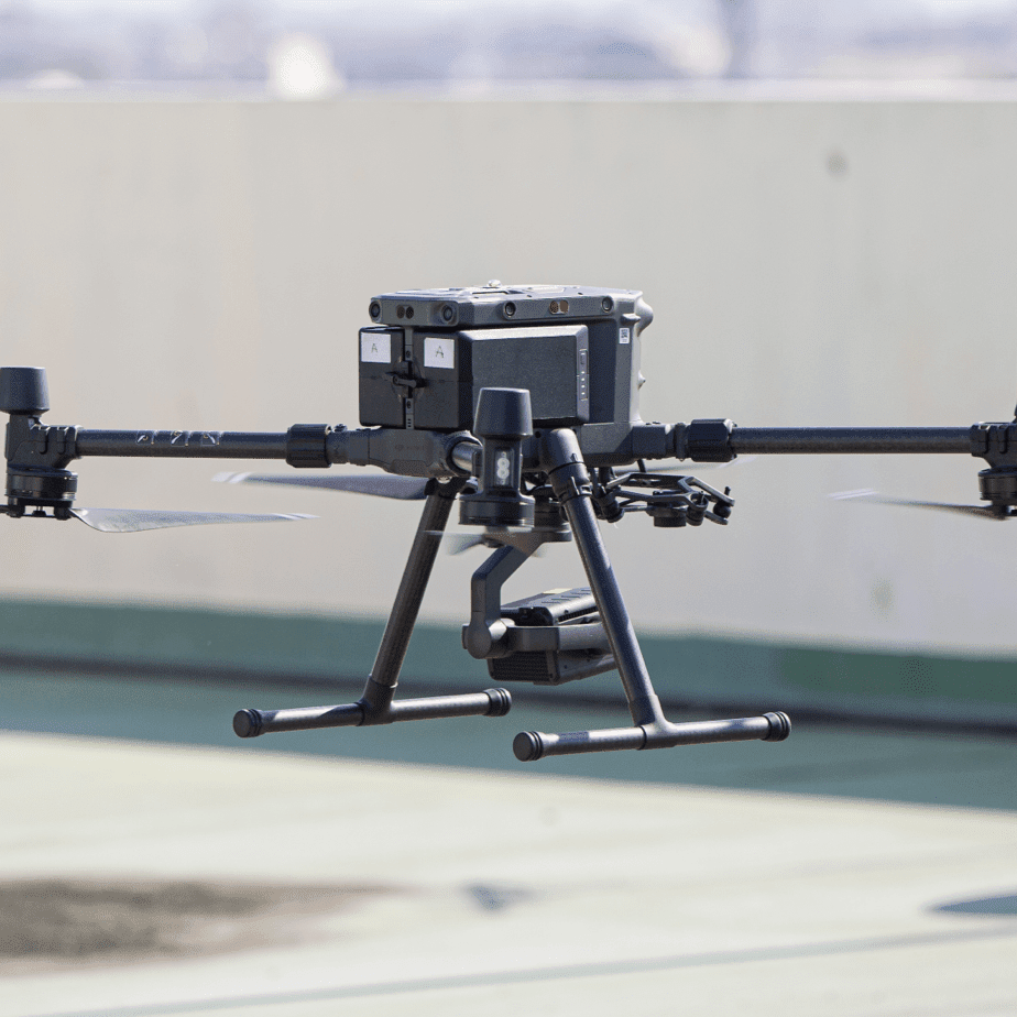
3D mapping involves the use of drone technology and advanced UAV payloads to generate three-dimensional representations of physical spaces and structures.
Accuracy & Precision
Our 3D mapping services produce detailed digital representations of landscapes, structures, and environments with centimeter-level accuracy.
Versatility & Flexibility
Whether for small sites or expansive areas, our 3D mapping services provide scalable and adaptable data tailored to the specific needs of your project.
Robust & Scalable
Our 3D mapping services can be tailored to any environment, from urban landscapes to remote terrains, serving a wide range of industry applications.
002 - Applications
Transform decision-making with the clarity of 3D mapping
Uncover the full potential of geospatial data with our highly accurate, enterprise UAV mapping products.
Measured UAV surveys collect highly accurate survey data for urban design, planning, and construction workflows.
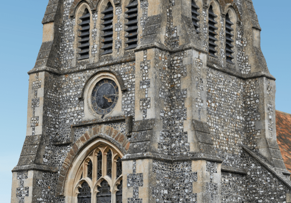
Façade UAV surveys gather critical insights into the exterior elements of buildings, ensuring aesthetic and structural integrity.
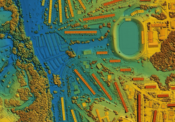
Site UAV surveys create 2D maps and models for topographic insights, streamlining site planning and terrain analysis.
Stockpile UAV surveys measure, calculate and report the volume and 3D shape of materials or land features with precision.
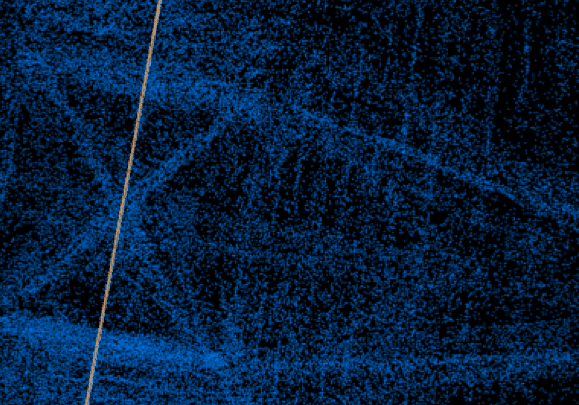
Powerline UAV surveys detect subtle shifts in towers, poles and ground clearance, with proactive mapping of risk zones.
Multispectral UAVs capture temperature variations which can indicate defective insulation, solar installations & infrastructure.
003 - Process
Digitise real-world environments with centimeter-level precision
We utilise advanced UAV payloads, imagers and scanners to create accurate and actionable data for your projects.
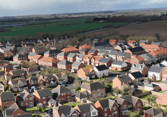
Photogrammetry is a technique used to obtain reliable measurements and create 3D models, topographic maps and 3D terrain models.
LiDAR is invaluable for creating detailed topographic maps, digital elevation models (DEMs), and 3D representations of landscapes.
Multispectral imagery captures light at specific wavelengths across the electromagnetic spectrum, beyond what the human eye can see.
01
Planning
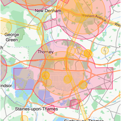
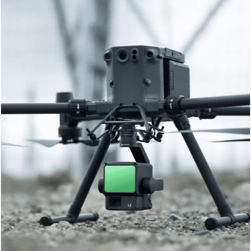
We carefully assess your site, review airspace restrictions, and prepare detailed RAMS to ensure safe and compliant UAV operations. All required permissions are secured in advance, ensuring compliance with UK aviation regulations, with each mission planned for accurate and efficient data capture.
02
Operation
We carefully assess your site, review airspace restrictions, and prepare detailed RAMS to ensure safe and compliant UAV operations. All required permissions are secured in advance, ensuring compliance with UK aviation regulations, with each mission planned for accurate and efficient data capture.
03
Delivery
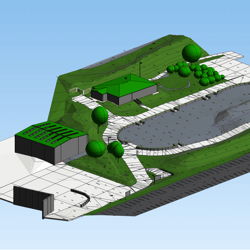
We carefully assess your site, review airspace restrictions, and prepare detailed RAMS to ensure safe and compliant UAV operations. All required permissions are secured in advance, ensuring compliance with UK aviation regulations, with each mission planned for accurate and efficient data capture.
004 - Delivery
UAV data collection for a wide range of industry applications
We leverage cutting-edge UAV imaging technologies, tailored to meet your specific project requirements.
Architecture, Engineering & Construction
UAVs facilitate design validation, site analysis, topographic mapping, project planning, progress monitoring, 3D modelling, and infrastructure inspections.
Surveying & Property
UAVs provide precise, real-time data for land use analysis, boundary mapping, building inspections, property management and environmental assessments.
Utilities & Infrastructure
UAVs provide asset inventories, optimising critical infrastructure management for pipeline inspections, road, rail and bridge monitoring, and infrastructure mapping.
Renewable Energy
UAVs enhance renewable energy projects, including solar panel inspections, wind turbine replacement, remote monitoring, and environmental impact assessments.
Environmental Management
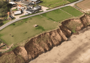
UAVs help in mapping and monitoring natural habitats, coastal erosion, water quality, pollution tracking, and natural resource planning in protected areas.
Mining & Geology
UAVs improve safety and efficiency for mineral exploration, volume calculations, slope stability analysis, stockpile management, and reclamation assessments.
Agriculture & Farming
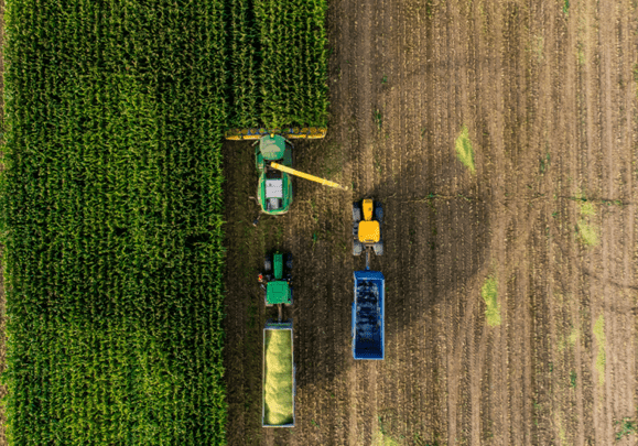
UAVs enable crop health monitoring, soil analysis, irrigation management, pest detection, nutrient management, field mapping, and livestock tracking.
Oil & Gas
UAVs conduct assessments from pipeline inspections, flare stack monitoring and leak detection, to facility management, safety audits, and emergency response.
Archaeology & Heritage
UAVs aid site documentation, artefact mapping, and topographic analysis, leading to improved excavation planning, site preservation and virtual reconstruction.
Land & Forestry
UAVs facilitate land management, forest inventory, vegetation mapping, fire risk assessments, habitat monitoring, biomass estimation, and compliance reporting.
If you have any further enquiries, we are always available to discuss your projects. Please feel free to contact us anytime!
005 - FAQ
Want to find out more?
Everything you need to know about our enterprise 3D mapping services.
3D mapping utilises advanced drone technology to create detailed, accurate 3D models of terrain, structures, and environments. By providing precise spatial data, it enables better risk management and project efficiency.
Our services achieve high accuracy levels, typically within a few centimetres. This accuracy is crucial for applications requiring detailed measurements and modelling, such as volumetric analysis and site planning.
We cater to a wide range of industries including construction, architecture, engineering, agriculture, environmental management, and infrastructure development, providing invaluable efficiencies for diverse business needs.
Integrating 3D mapping data into your workflows is seamless with our support. We provide data in formats compatible with industry-standard software like CAD and GIS, ensuring easy integration into your existing systems.
006 - Contact
Have a project to discuss?
Get in touch for a quote, or request a free consultation to discuss your project requirements.
