The Rise of UAV Photogrammetry

In the UK-built environment, technology has been a driving force behind innovation and efficiency. One advancement that has revolutionised the way we approach the design, construction and maintenance of built assets is aerial photogrammetry and 3D mapping.
In this article, we’ll delve into the technical aspects of aerial photogrammetry, the concept of digital twins, and how they are aiding in planned preventative maintenance.
Aerial Photogrammetry: A Technical Marvel
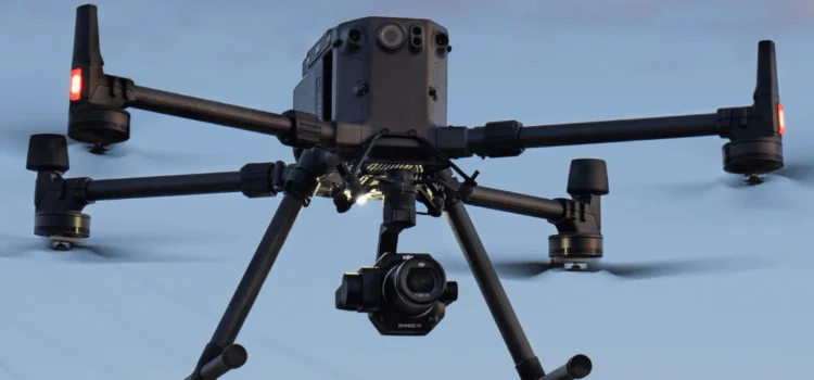
Aerial photogrammetry is a technique that involves capturing images from different angles and heights using drones or aircraft. These images are then stitched together to create detailed 2D maps or 3D models of the surveyed area.
The data gathered through aerial photogrammetry provides architects, engineers, and construction professionals with an unprecedented level of detail about the site and its surroundings. This, in turn, allows for more accurate planning and design, as well as improved collaboration among project stakeholders. By enabling better decision
-aking, aerial photogrammetry reduces time and cost overruns while enhancing project deliverables.
3D Mapping and Digital Twins: Enhancing the Building Process
One of the most exciting applications of aerial photogrammetry is the creation of 3D maps
and digital twins. A digital twin is a virtual replica of a physical asset or environment, created by combining various data sources, including photogrammetric data, sensors, and real-time monitoring.
For the design and construction phases,3D mapping and digital twins are immensely beneficial. Architects and planners can use them to test different design scenarios, simulate how structures will interact with their surroundings, and optimise the use of space.
During the construction phase, digital twins facilitate progress monitoring and clash detection. This level of oversight by the project team, operating safely from a remote location, significantly reduces potential errors and ensures the project stays on track.
Routine Maintenance and Planned Preventative Maintenance
As buildings and infrastructure age, their maintenance becomes increasingly critical to ensure longe vity and safety. This is where aerial photogrammetry and digital twins shine once again. By regularly updating digital twins with data from drone surveys, surveyors and facility managers gain real-time insights into asset conditions.
For instance, drones can detect structural damage, corrosion, or wear and tear in buildings or infrastructure, allowing maintenance teams to address these concerns proactively.
With digital twins providing accurate and up-to-date information, maintenance tasks can be precisely targeted and priced, minimising downtime and maximising asset performance. As a result, this cost-effective approach not only extends the lifespan of built assets but also ensures compliance with safety regulations.
Conclusion
Aerial photogrammetry and 3D mapping, facilitated by drone surveyors, have emerged as game-changing technologies. These tools enable professionals to design innovative structures, streamline construction processes, and implement effective maintenance strategies. The rise of digital twins brings a new level of efficiency and sustainability to the management of built assets.As technology continues to advance, we can expect even more exciting developments in the way we create and maintain the world around us.
If you are interested in using our 3D mapping services for your next project, please contact our drone surveying specialists today to request a free consultation and find out more.