
RTK & PPK Drone Surveying: Improving UAV Mapping Accuracy
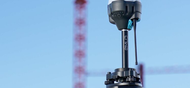
RTK (Real Time Kinematic) and PPK (Post Processed Kinematic) are positioning methods used to improve the accuracy of professional UAV surveys. Both use GNSS observations from a reference receiver to improve the positions recorded during image capture, supporting applications such as topographic surveys, construction monitoring, volumetric calculations and site modelling.
However, accurate camera positioning does not automatically guarantee an accurate final survey. The choice of positioning method, quality of image capture, photogrammetric processing and independent validation all influence the reliability of the resulting data.
This article explains how RTK and PPK work, where each offers practical advantages, and how they contribute to accurate UAV mapping, including:
- How real-time corrections improve positioning during data capture.
- How post-flight processing supports accurate mapping where live connectivity is unreliable.
- Why corrected positioning must be supported by appropriate processing and quality control.
RTK Drone Surveying
RTK corrects the drone’s estimated position while the survey is being flown. It uses a second GNSS receiver at a known location to calculate positioning corrections, which are transmitted to the aircraft and applied during data capture. This improves the coordinates recorded for each image, providing a more accurate starting point for photogrammetric processing.
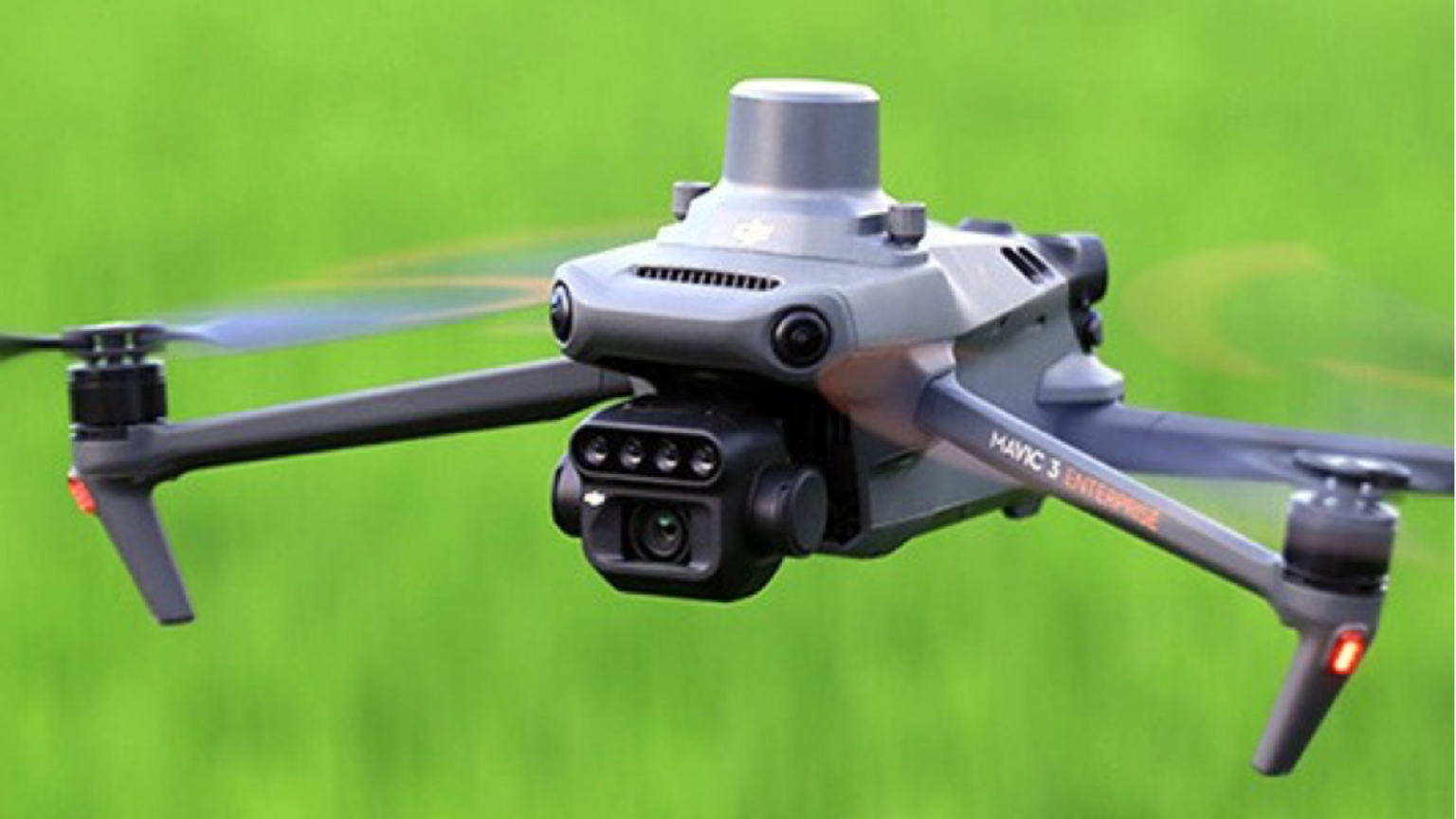
RTK positioning improves the camera coordinates recorded during UAV mapping.
Corrections can be supplied by a physical base station established on site or through network RTK, where data from permanent reference stations is delivered over a mobile connection. Survey Air uses RTKdata via NTRIP, with compatible DJI platforms including the Matrice 400 RTK and Mavic 3 Enterprise.
Under suitable conditions, RTK can achieve centimetre-level positioning, typically around one to two centimetres horizontally. Actual results depend on satellite visibility, correction quality and the accuracy of the reference coordinates.
The principal advantage is immediate feedback. The operator can monitor positioning status during the flight and identify interruptions to the correction stream. However, RTK depends on a reliable connection, which can be difficult to maintain across remote or obstructed sites. A successful RTK fix also does not, by itself, confirm the accuracy of the completed survey.
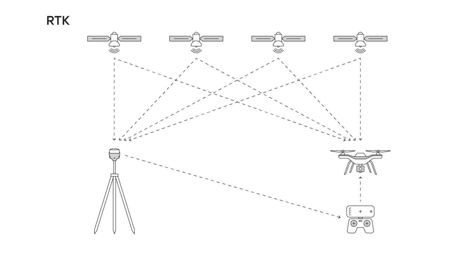
RTK uses GNSS reference data to provide positioning corrections during flight.
PPK Drone Surveying
PPK applies positioning corrections after the flight rather than relying on a continuous connection during capture. The drone records raw GNSS observations while a separate reference receiver records observations over the same period. Processing software then combines these datasets to calculate corrected camera positions for the captured images.
Because corrections are applied retrospectively, PPK is particularly useful where mobile coverage is unreliable or maintaining a live correction link is impractical. Reference observations can come from a local base station or a suitable permanent GNSS reference station, depending on the project and available data.
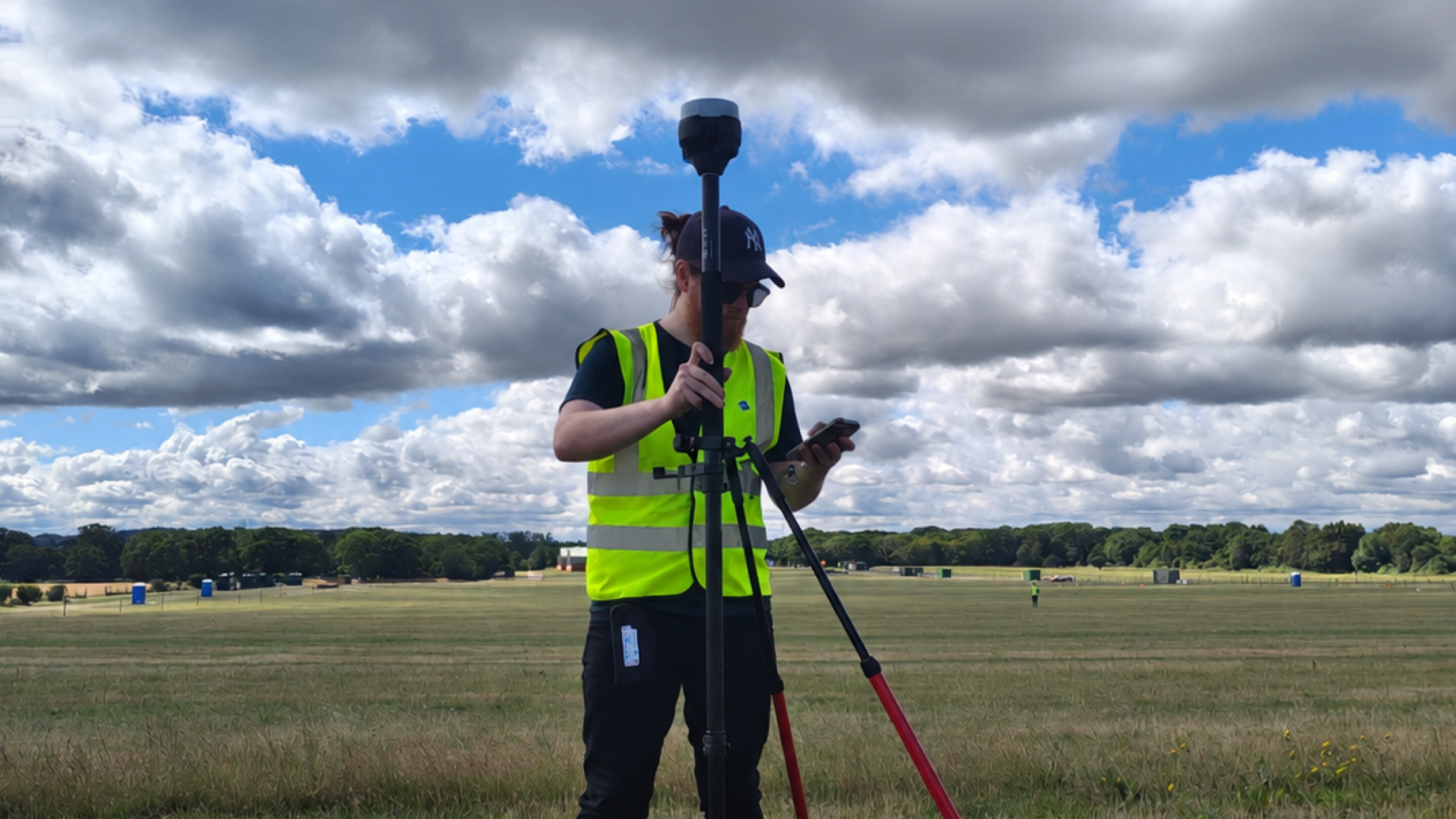
GNSS reference observations help establish accurate positioning for UAV survey workflows.
Post-processing also allows the positioning solution to be assessed after capture. Where sufficient observations are available, software can use data recorded before and after a particular epoch to improve the calculated trajectory. However, PPK cannot compensate for missing observations, unsuitable reference coordinates or poor-quality GNSS data.
The main trade-off is that the corrected solution is not available immediately in the field. Careful preparation, reliable data logging and appropriate processing are therefore essential. Where practical, checking the dataset before leaving the site can help identify problems while remedial action is still possible.
UAV Mapping Accuracy & Validation
RTK and PPK improve the positions associated with captured images, but the accuracy of the final mapping product depends on more than GNSS positioning alone. Image quality, overlap, surface texture, camera calibration, processing settings and the coordinate reference system all influence the resulting model.
This distinction is important because a model can appear visually convincing while containing errors in elevation, scale or absolute position. Similarly, a dataset may be internally consistent without being accurately aligned to the required coordinate system.
Ground control points (GCPs) can be used to constrain a photogrammetric model using surveyed coordinates. Independent check points serve a different purpose: they are excluded from the adjustment process and used to assess the accuracy of the finished dataset against known positions. The need for additional ground control depends on the project requirements, site conditions and positioning workflow.
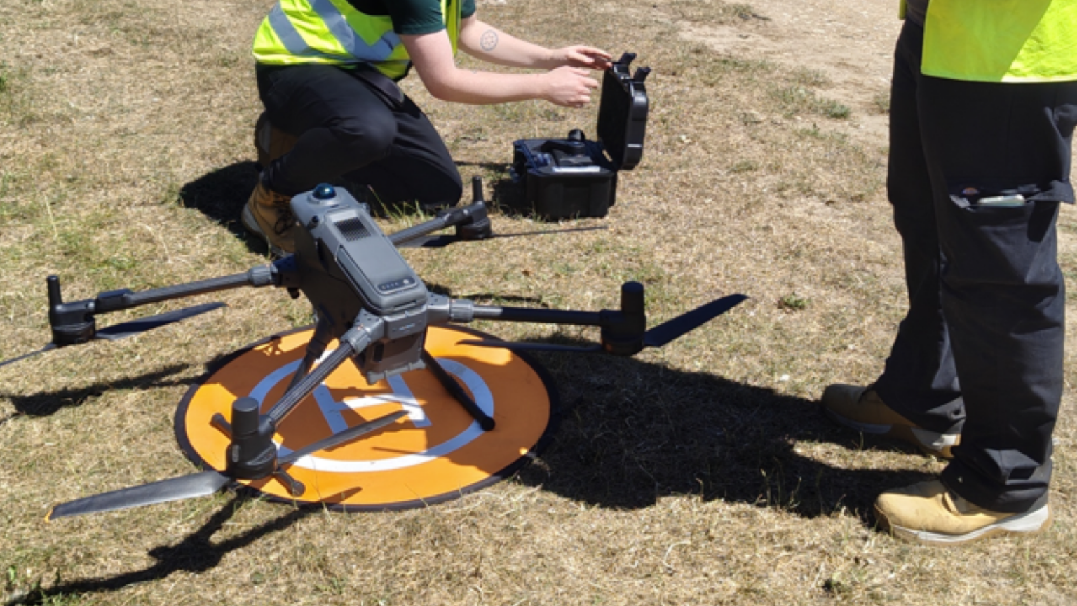
Careful equipment setup and survey planning are important parts of a reliable UAV mapping workflow.
Validation is particularly important for repeat surveys, where datasets may be compared to assess construction progress, calculate stockpile volumes or monitor changes in ground levels. Consistent coordinate systems, vertical datums and survey methods help ensure that observed differences reflect actual site changes rather than inconsistencies between datasets.
The appropriate workflow should therefore be selected against the accuracy required for the deliverable, with suitable checks used to verify the results.
Conclusion
RTK and PPK both improve GNSS positioning for professional UAV surveys, but they suit different operating conditions. RTK provides real-time corrections and immediate feedback during capture, while PPK reduces dependence on a live correction link by applying corrections after the flight.
Neither method guarantees the accuracy of the final survey in isolation. Reliable UAV mapping depends on the complete workflow, from flight planning and positioning through to photogrammetric processing and independent validation.
Survey Air applies RTK and PPK workflows across UAV topographic surveys, construction mapping and volumetric assessments, selecting appropriate methods to meet each project’s requirements. The objective is to deliver reliable spatial data that clients can integrate into their surveying, design and asset-management processes.
To discuss a UAV mapping project or determine the appropriate survey methodology, contact the Survey Air team.